
Lough Dan Walk, everything you need to know
This website uses affiliate links which may earn a small commission at no extra cost to you. Thank you for your support.
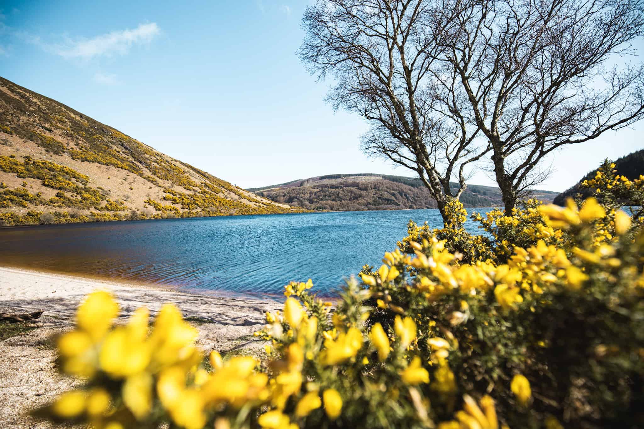
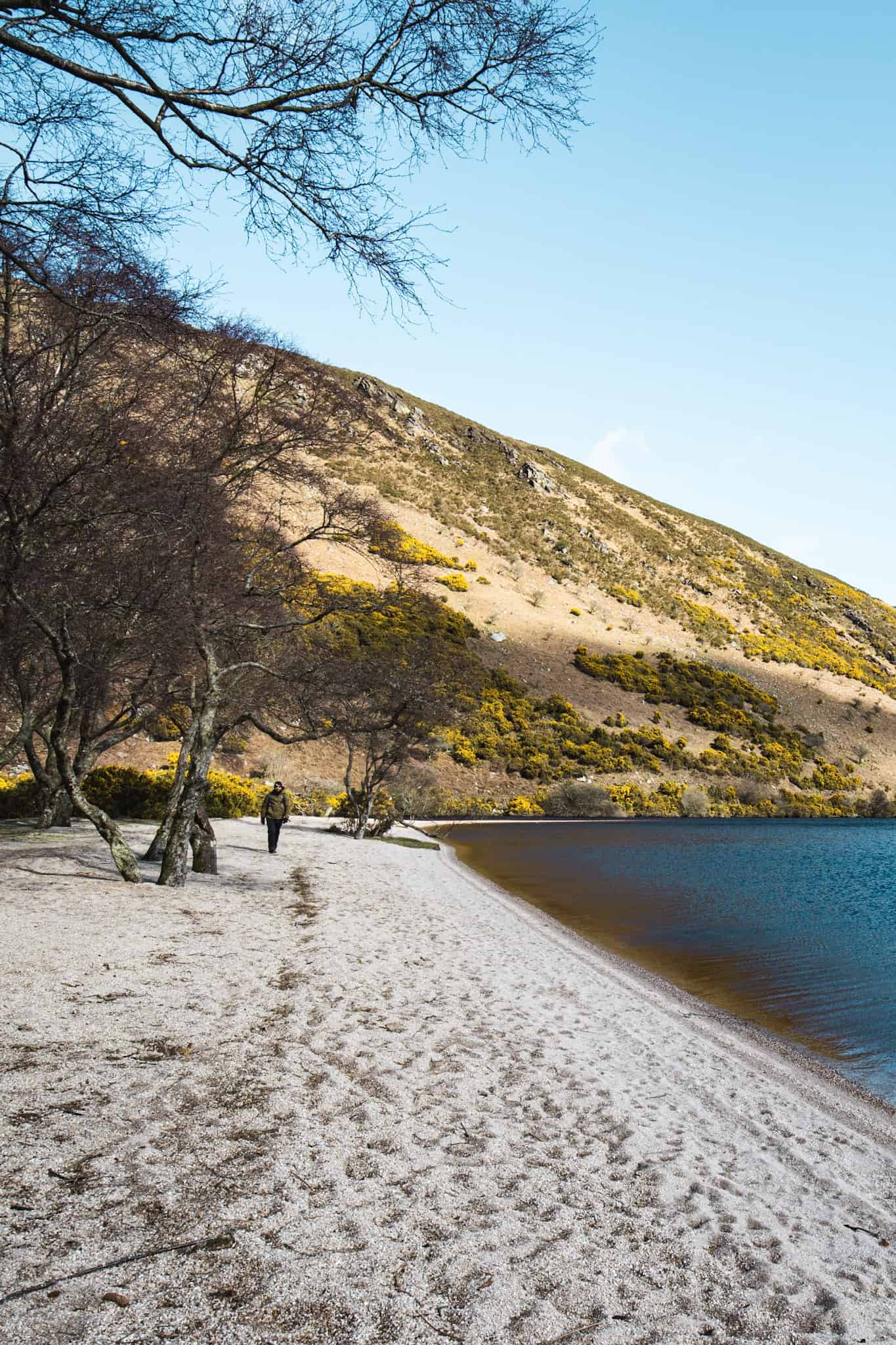
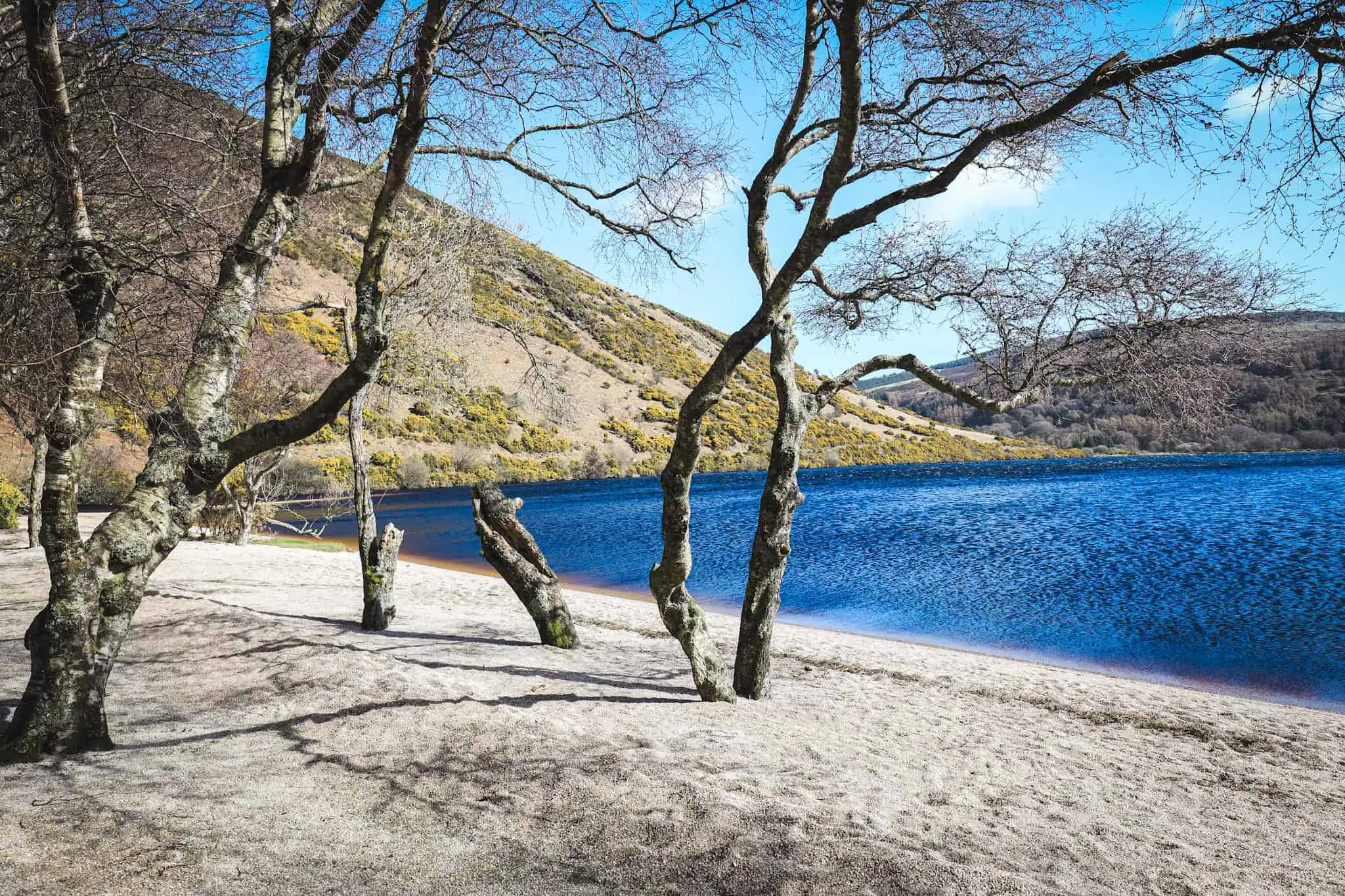
Lough Dan is a gorgeous hidden lake tucked away in Wicklow Mountain National Park. With not many visitors compared to the nearby loughs, this lake is a serene place to hike, go for a dip or just enjoy a picnic in the sun if you’re lucky.
Although, there isn’t a lot of information about Lough Dan walk online, and the reason is that back in 2020, during the COVID pandemic, the owner of the estate and farm leading to Lough Dan had to close its access due to bad behavior from campers. These visitors would come in and leave all their camping gear and garbage behind, shamefully leaving this gorgeous place littered…
So, for a few years, the access to Lough Dan has actually been closed. The good new is it is now back open! and there are several walks that can lead you to the lough Dan within 30 min to 1 hour.
I visited the area twice in March 2024 and gathered all the important information and tips you’ll need for a visit. In this article, I’ll share details about the lake, how to get there by car, and the best walks and hikes to the lake and around.
Lough Dan Walk and Hike Map
In the below map, I have documented the different car park and walks to Lough Dan. If you want to save this, feel free to click on the star sign, it will automatically save it in your Google Map account!
Where is Lough Dan
Lough Dan is located in the heart of Wicklow Mountains National Park, about an hour’s drive from Dublin city center. This picturesque lake is surrounded by rolling hills covered by cypress forests and bogs. It is a very secluded lake not often visited by tourists, unlike its neighbouring lakes such as Glendalough or Lough Ouler.
How to get to Lough Dan
There are a couple of ways to get to Lough Dan from Dublin. A few walks around give amazing views from above, but to access the lake itself, only three ways are open to the public:
- the Old Military Road,
- Lough Dan House near Roundwood
- Ballinastoe car park (Luggala Estate)
The second way is faster for anyone who just wants to go for a quick walk, while the first and third are longer walk downhill mostly on a graveled road. I will detail these 3 hikes in the next section.
Before detailing the hikes, here are two ways to get to the start of the hikes by car. There are no Public Transport available.
Via Sally Gap
Starting in Dublin city center, head to the M50 motorway and exit at Junction 12. Follow the signs to Kilakee then the hell Fire Club. Once at the junction with the road R113 until meeting R115. Turn right and follow the road until Kilakee View point. From here, the Old military Roads starts on your right.
This historic road winds its way through the Wicklow mountains, passing by Glencree (on your left), then Lough Bray (on your right) and then on to Sally Gap. If you have never been up there, prepare to be surprised! The views on the way are breathtaking. No wonder many movies set in Ireland are shot there.
💡The Old Military Road is quite narrow, and the weather can change very quickly at this altitude, so make sure to drive slowly and be aware of other drivers (and potentially sheep on the road).
Once at Sally Gap, turn left to start the hike from Ballinastoe (see below for parking details), continue straight, to hike from the Old Military road.
Via the N11
Same as before, take the N50, and continue onto the N11. Take the exit to R755 and follow the signs to “Glendalough”. About 2 kilometers before Roundwood, you will need to turn right and take the R759. This road will take you to a car park on the right side called the Ballinastoe Car Park.
To go to the 2nd hike (Lough Dan House), do not turn onto R759, just continue towards Roundwood.
Ballinastoe Car Park
It is quite large but because there are several hikes from this point, it tend to fill up very quickly. Make sure to arrive early. Car park is open from 9 am until 5:30pm. If the car park is closed, continue on the R759, where you will find a few more places to park on the right side.
There is a coffee shack there which is a great spot to grab a cuppa after the hike or warm up with a hot cocoa!
How to Hike to Lough Dan
1. Old Military road to Lough Dan Hike
At Sally Gap, continue straight towards Glenmacnass. This road is a bit narrower than before, and there are some bumps on the road that are sometimes advertised and sometimes not.
Before reaching Glenmacnass, where you can start the Lough Ouler or Scarr Mountain hikes, you will find the Lough Dan car park on your left, about 100 meters from the Inchavore River. It is also about 300 m from Carrigshouk Mountain car Park which you can use if the first one is full.
🤔 There are no signs to indicate where to stop, so I would recommend saving the Map I created (here) or use these coordinates (53.08957, -6.34952).
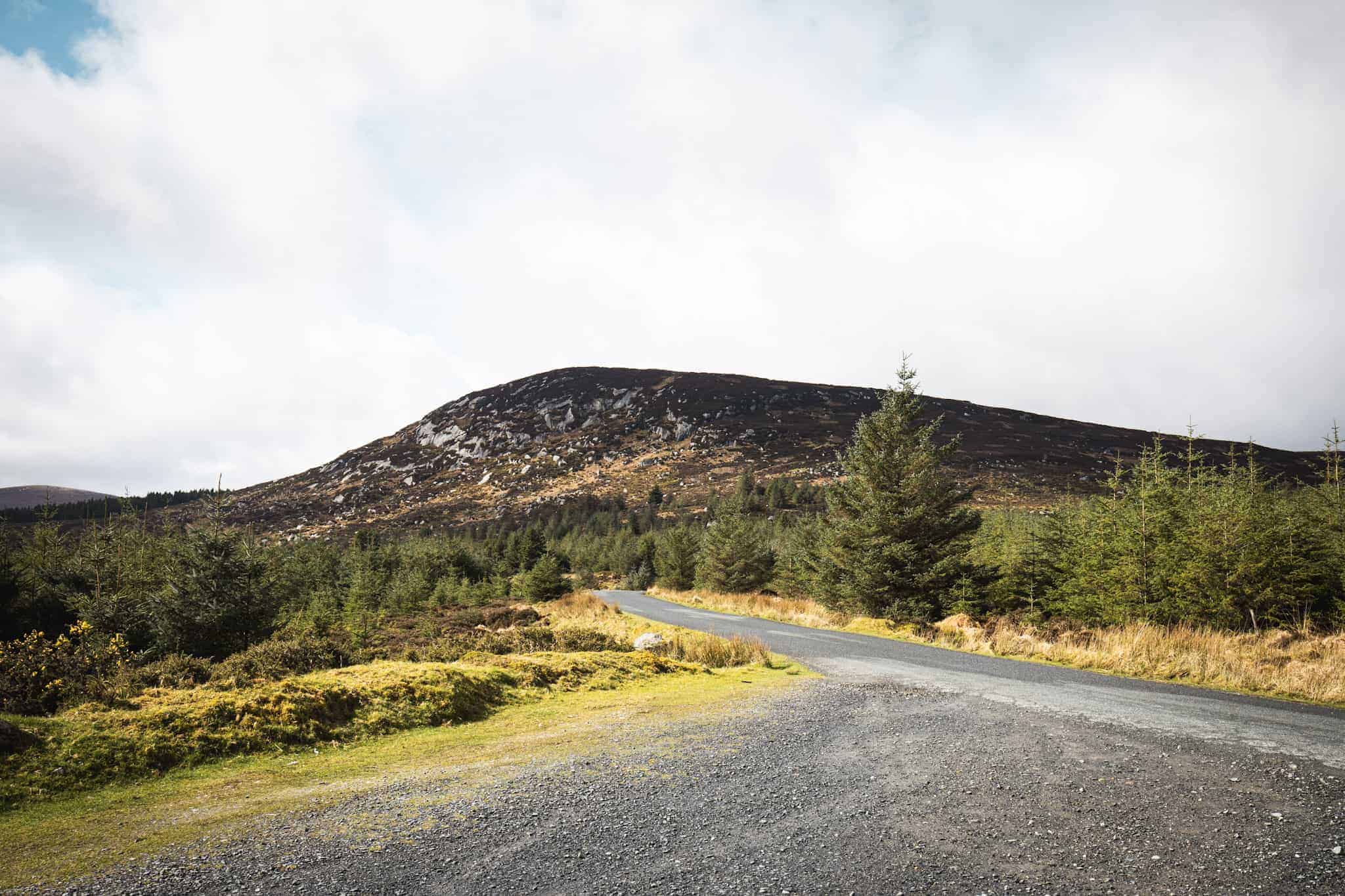
The walk from the Old Military Road to Lough Dan Beach is about 5 kilometers one way and takes a bit more than an hour. Factoring a stop at the beach, I would count about 3 hours for this hike in total.
The walk follows a graveled path mostly used to transport limber out of the cypress farm. Along the way, you will find several intersections with the path splitting in two. As a rule of thumb, always keep left!
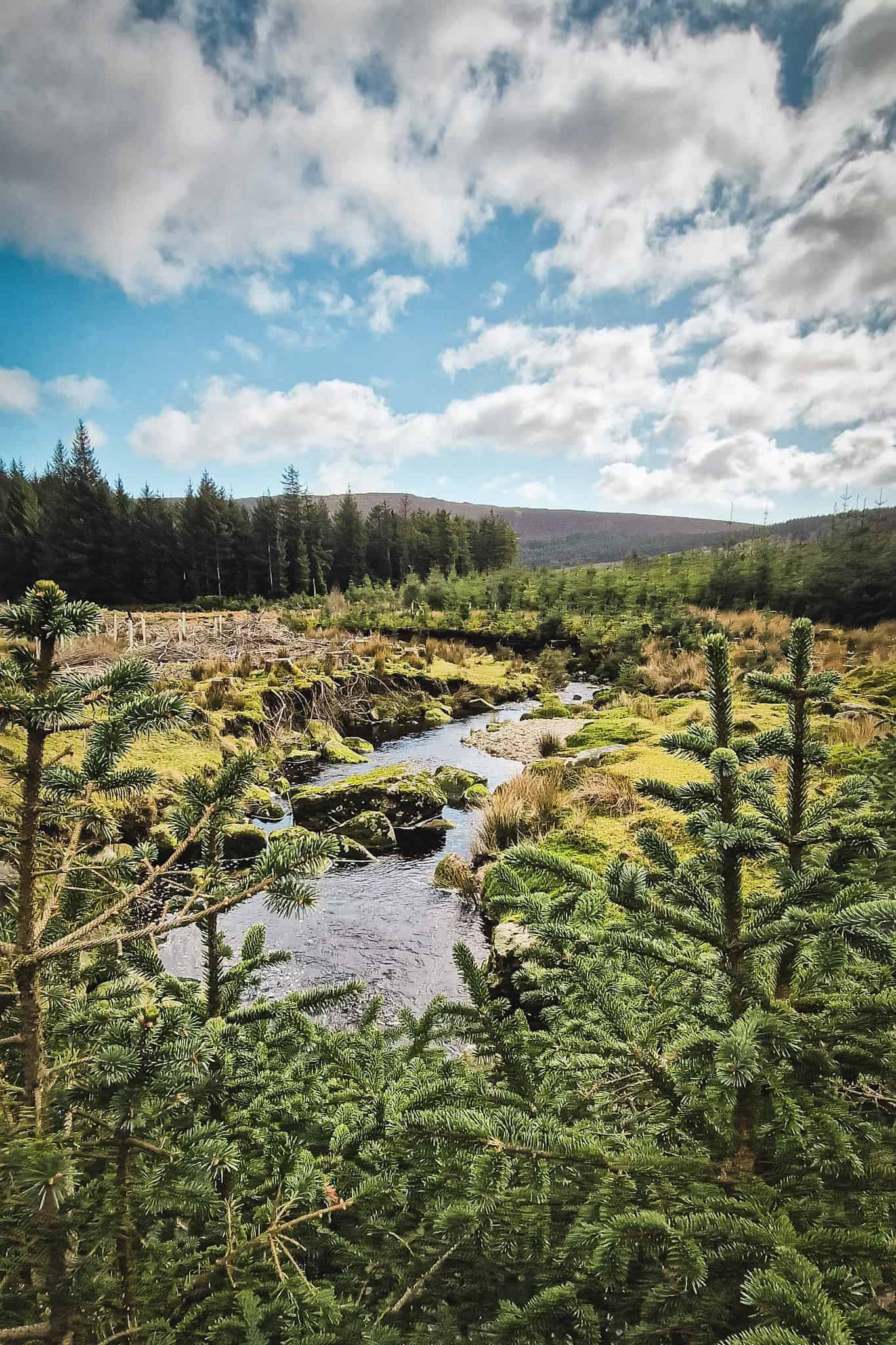


Although at some point, you must leave the main graveled path and turn left into a small “sheep” path that is unfortunately not that obvious. This turn is important; otherwise, you are going to find yourself walking along the farm fences, across bogs, and on a challenging trail. While this trail reaches the main gate anyway, it is a rather unpleasant walk that you should avoid (trust me, I took it on the way in and it was an unnecessary detour…).
To find the right path, after walking about 40 minutes on the road, you’ll arrive at a spot which looks like a large parking. (on the right, there is dense conifer forest). As you continue to walk and the forest on your right clears out, you should see 3 boulders ahead. Two on the left and one on the right. They’re pretty large and spaced across 200 meters. Once you’re at this area, look for a small path to the left after the second boulder.
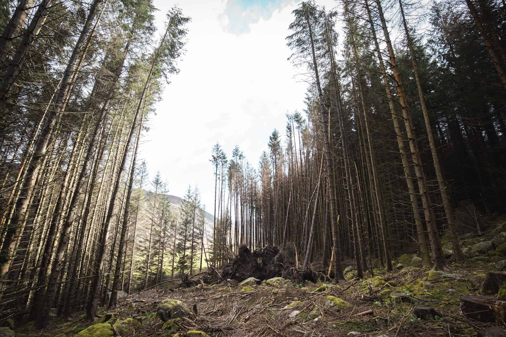

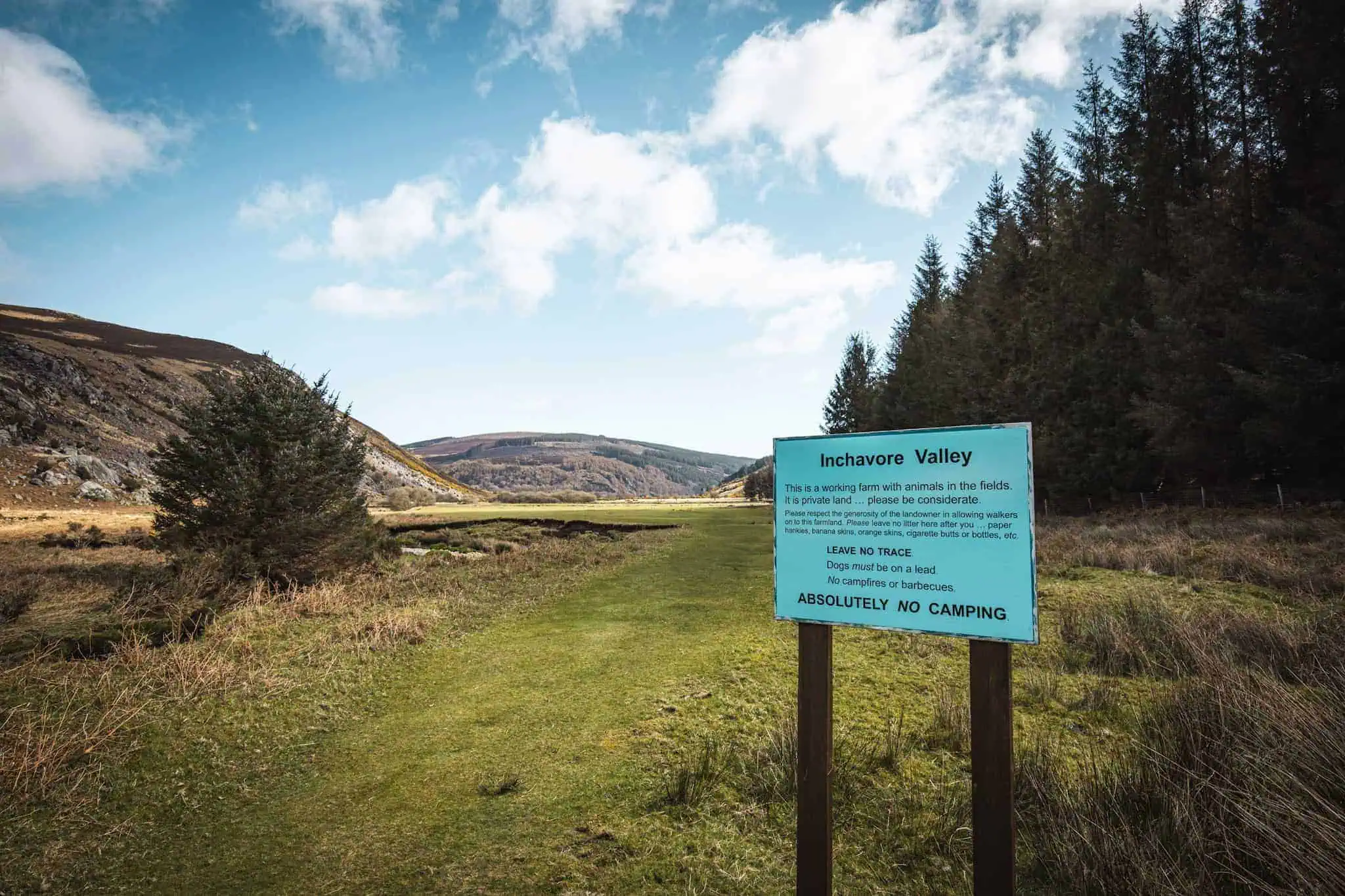
Walk along this small trail (that is not really obvious) until you reach the river, then follow a much more obvious trail to your right. This is the Logan’s way, a lovely trail along the Inchavore river. You will pass a nice area under the trees before arriving at a flat and open area. Pass the blue sign about the rules of entering the area. Continue across the field towards Lough Dan, and then you’ll find another blue sign, leading you finally to the beach.
2. Lough Dan House to Coon Beach
For those who come from the south of Dublin or prefer a more straightforward road, you can take the N11 towards Wexford and then exit onto the R755 to Roundwood.
Depending on how long you want to walk for, you can either park in Roundwood and follow the Wicklow Way for a bit (but be aware that this path is shared with cars) or drive to the Lough Dan House and start from there. Obviously, make sure to keep an eye out for walkers on the road.
⚠️ Lough Dan House is at the end of Shinnagh Lane after the scout center of Lough Dan. You can find a place to park nearby but respect the neighborhood and do no block any private house access or the road itself.
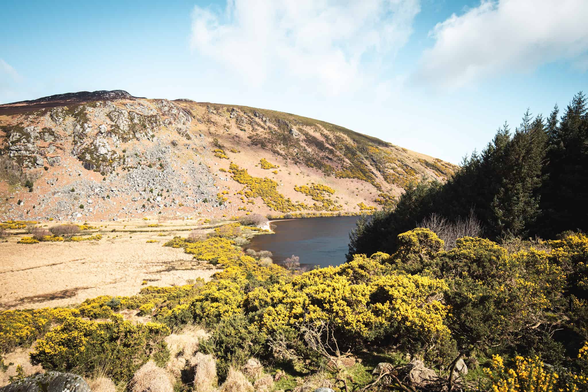
The path from Lough Dan House to the beach is downhill for about 30 to 45 minutes. It is approximately 2 kilometers one way, and the elevation is about 300 meters.
The walk is pretty straightforward for a large part but can be a bit boggy if it’s been raining before. By the end of the walk, once you pass the forest that is on your right, you’ll start seeing the Lough Dan and its beautiful beach. Continue your way until you reach the gate.
The gate should be open, but if it is not, turn around because this is a private property. As you enter through the gate, cross through the field. You’ll find the path fairly easily to your right until you arrive at the beach.
⚠️ This is a private property and due to anti-social behavior back in 2020, this gorgeous place was close to the public. To keep access in the future, and enjoy this part of the Wicklow National Park, make sure to practice leave no trace and respect the place. Do note litter and take every back with you. Camping is prohibited and dog must be kept on leash.
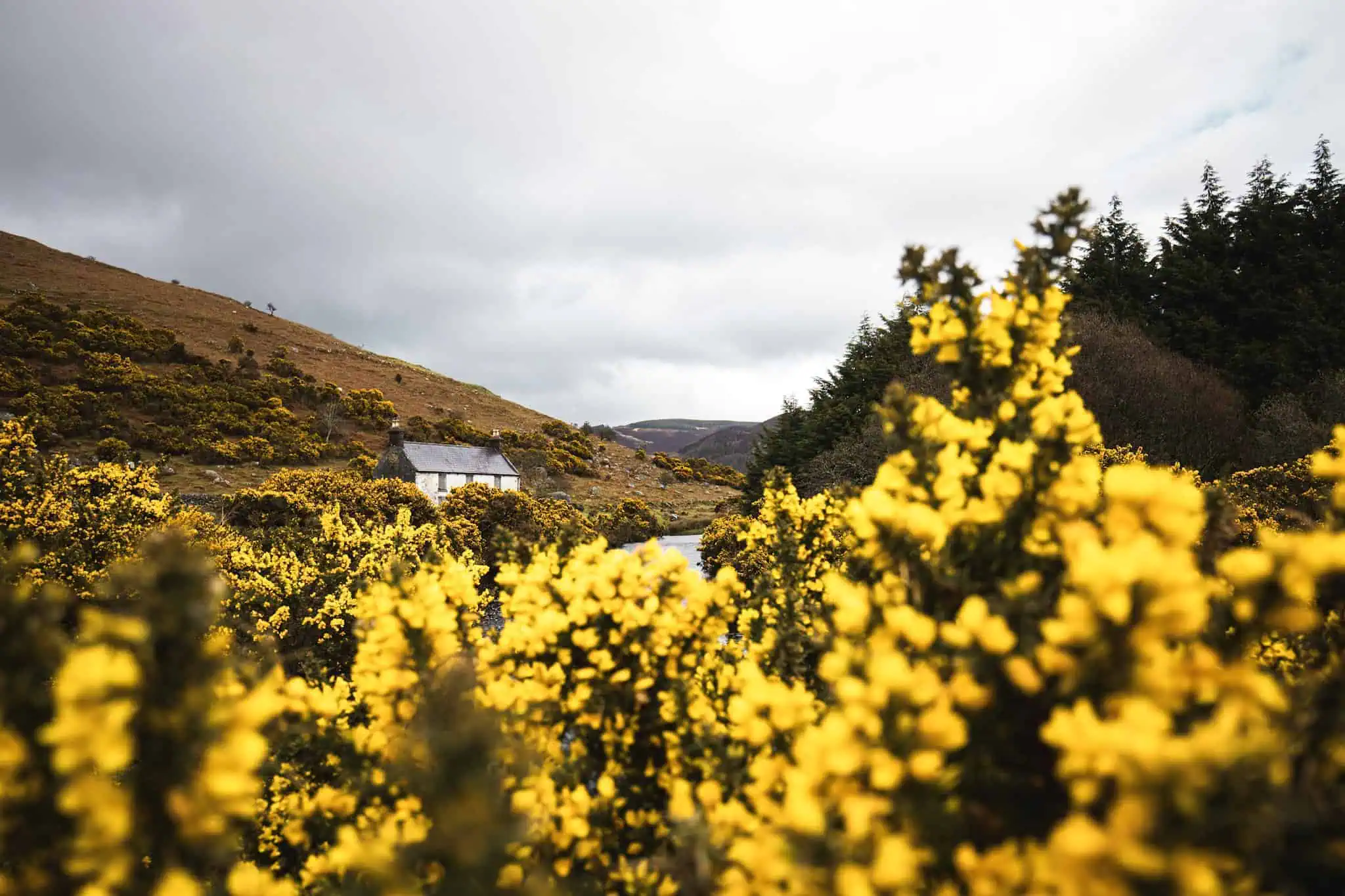
3. Ballinastoe Car Park to Lough Dan Hike
The hike connecting Lough Tay and Lough Dan, along the Luggala Lodge road, is a delightful walk starting from the Pier Gates near the Ballinastoe car park.
The entrance of the hike is right across the road when you leave the car park. There is a small gate which will get you onto the private land of Luggala Estate. Dog are not allowed, even on leash.
As you enter the Estate, you may be welcome by someone who will explain you the rules to enter the land and the way to take to Lough Dan.
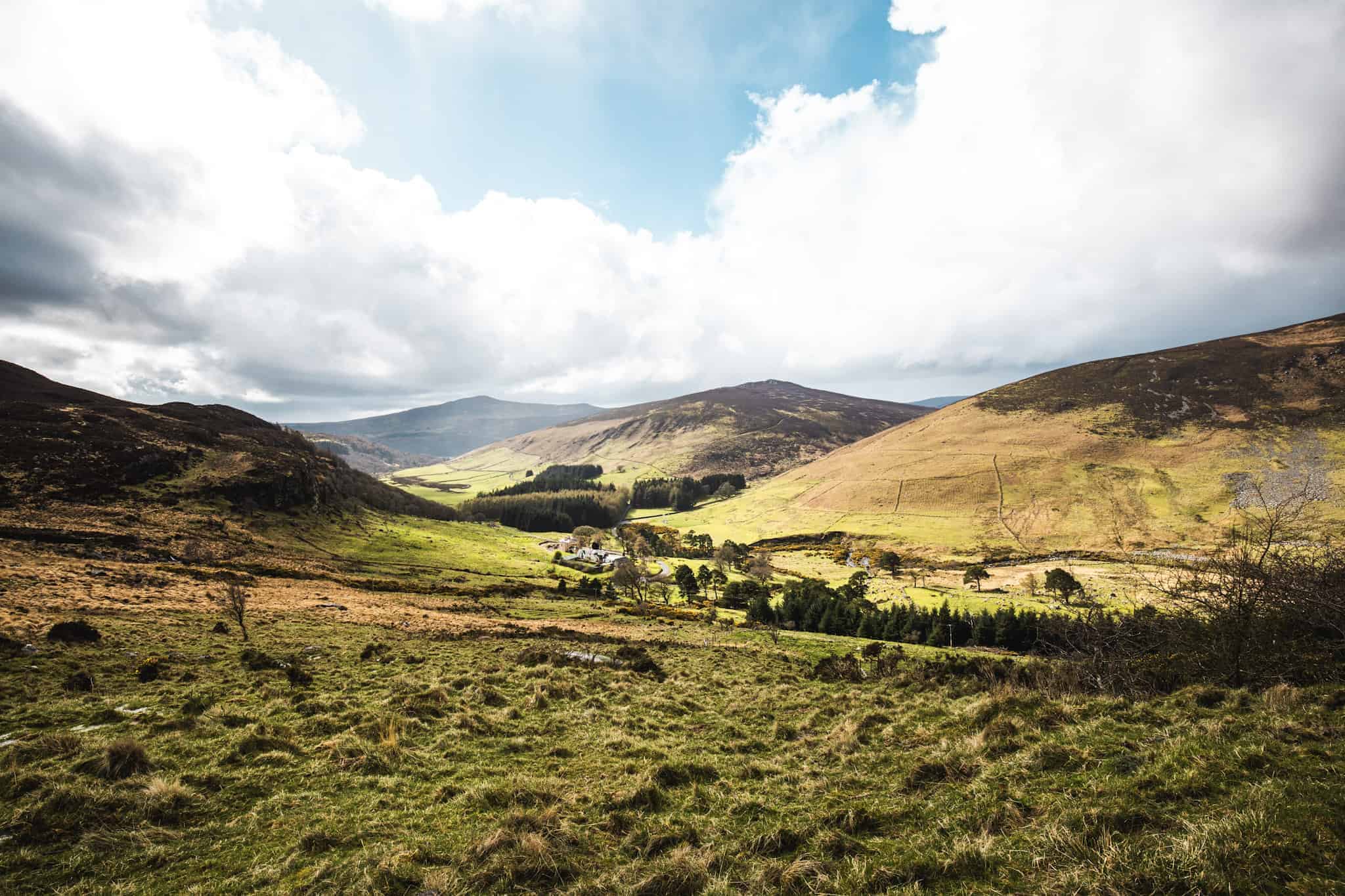

For the first 20 min you will walk on the road, then pass two bridges, a small staircase and then follow a muddy path along an old stone wall until you meet Lough Dan. You cannot cross the river to the left as this part of the lake is not open to public.
Just as mentioned above, make sure to keep the place like you found it, do not litter, and no camping is allowed.

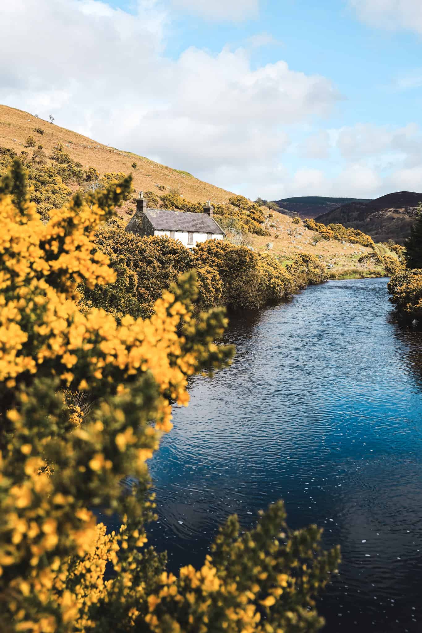
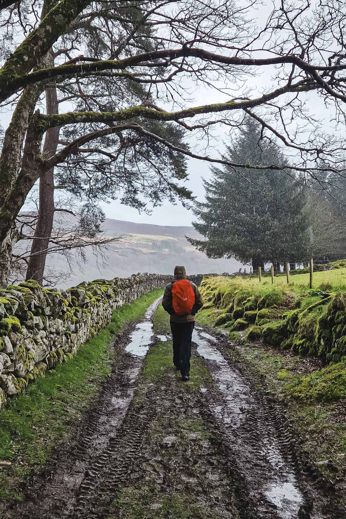
Other hikes to see Lough Dan
Lough Dan to Knocknacloghoge
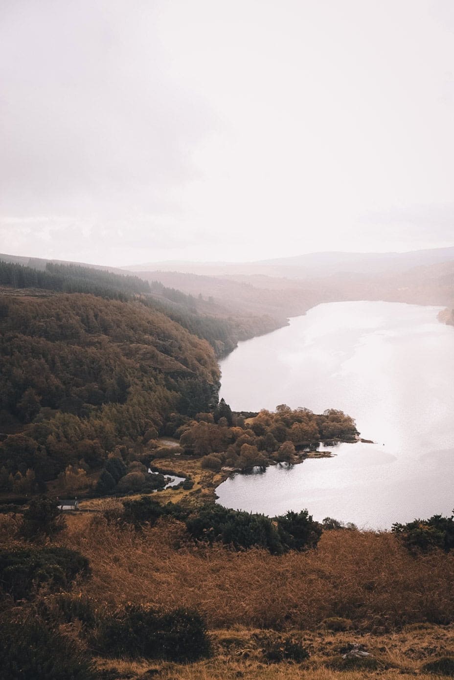
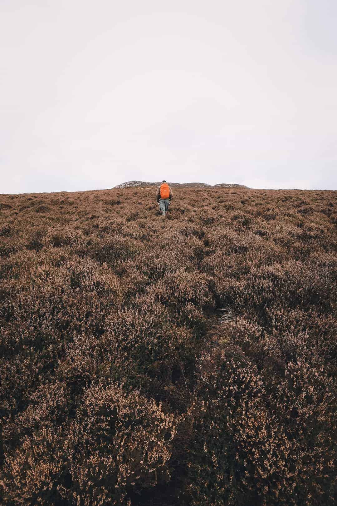
You can walk to Knocknacloghoge summit to see one of the best views of lough Dan from above! Most hikers attempt the ascent from the Pier Gate on Luggala estate, making a loop of about 12km. Although, this can be quite challenging due to the lack of proper path, large ferns hiding holes on the ground and a very muddy soil.
I finally climbed Knocknacloghoge after one failed attempt a couple of years ago. This time, I took the usual trail from Pier Gates down to Lough dan and didn’t get lost. Though the trail up is a bit complicated to find at times, and the way back down was very muddy. From the summit of Knocknacloghoge, the view of Lough Dan were for sure breathtaking.
Scarr and Kanturk to Lough Dan
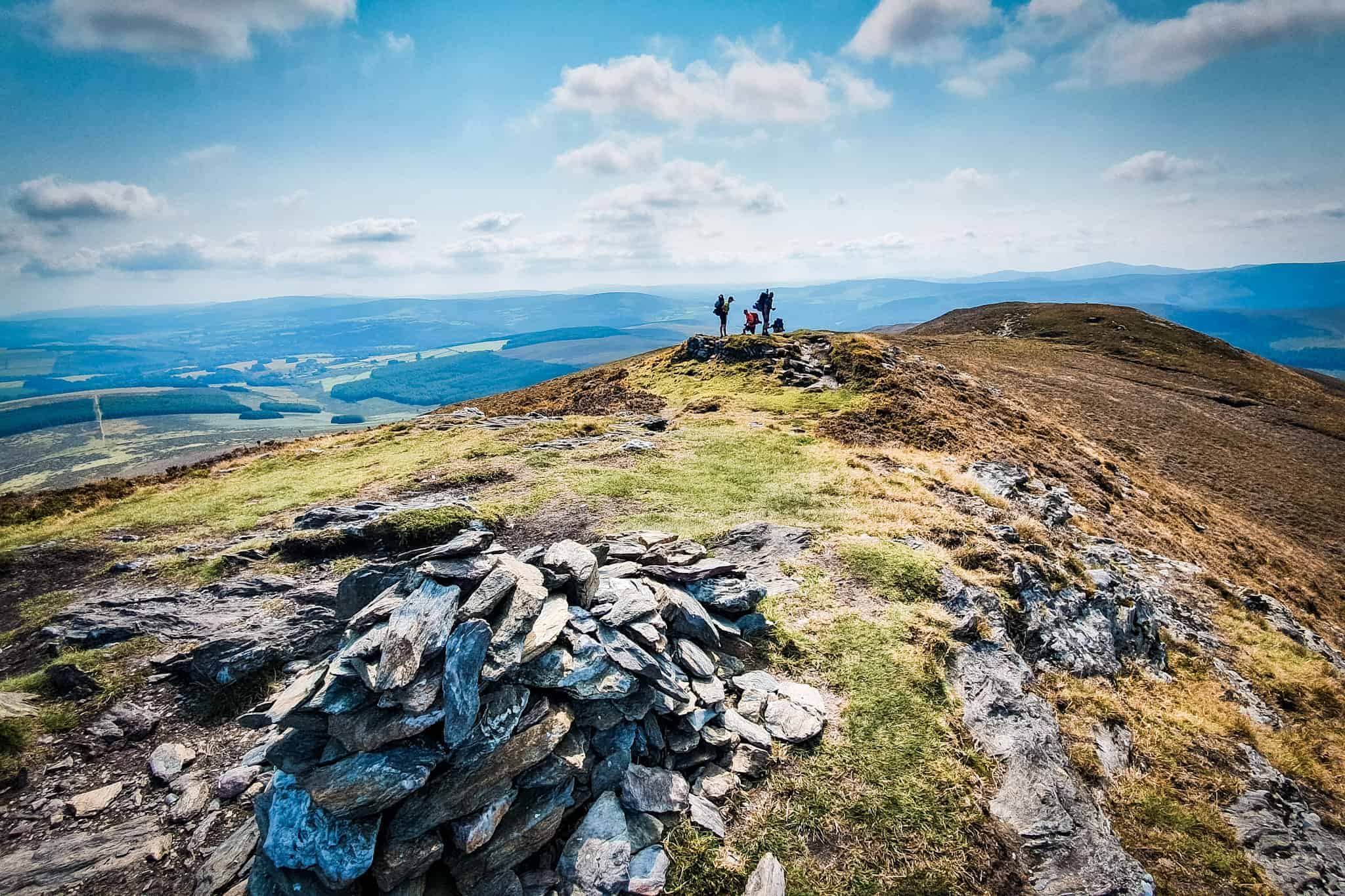
You can also consider Scarr Mountain and Kanturk Mountain hikes, both accessible from the Glenmacnass car park. They are less known than nearby Tonelagee or Luggala, but are worth a try.
I have done both hikes (although I have no photos of Kanturk). From Scarr summit, you can see Lough Dan a little bit, so you will need to continue to Kanturk for the best views of the lake below. Once at Kanturk, you can hike down to the Lough Dan House and then follow the path to Coon Beach. Although, this loop is about 14 km long so allow at least 4 hours.
Things to Do or See Near Lough Dan
- At Lough Dan beach, you might be tempted to swim or paddleboard, but remember that Irish weather can be unpredictable, and the water can get very cold. While these activities aren’t prohibited, they come with risks, so ensure you’re well-prepared before engaging in them.
- Lough Dan lies in the heart of the Wicklow Mountains National Park, surrounded by numerous things to do. Hiking is one of the main attractions, here is an article with more than 20 hikes ideas near Dublin.
- Glendalough, with its ancient monastery and cemetery, is another scenic spot worth visiting.
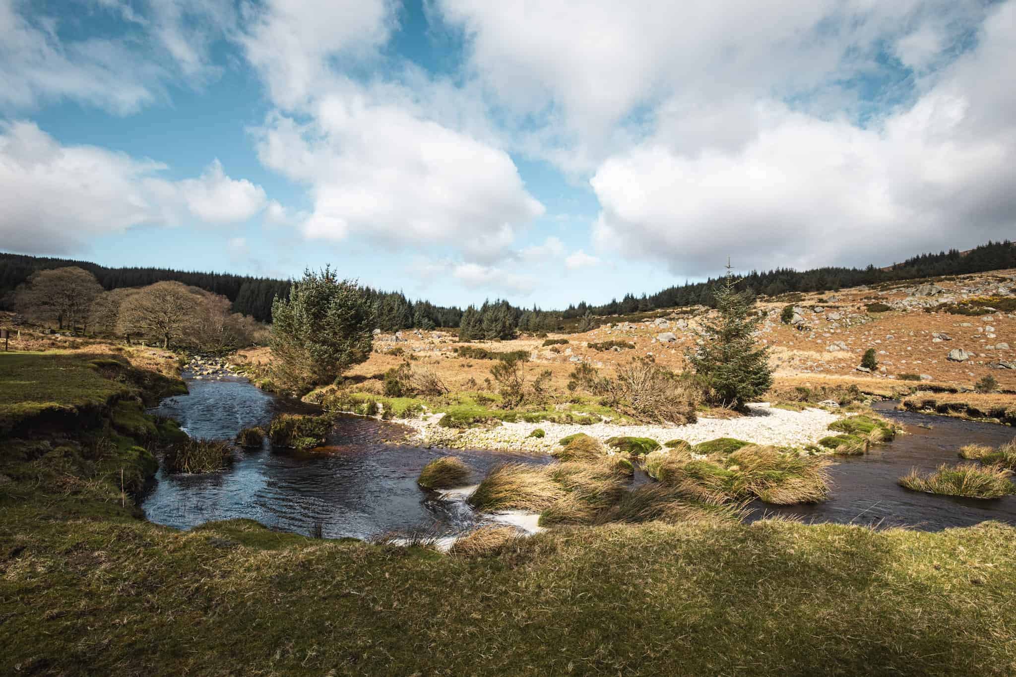
- The entire journey along the Old military road to Lough Dan, regardless of the season, showcases the area’s stunning natural beauty, from snow-capped mountains to flowering heathers.
- For more beautiful Lake hike, head to Lough Bray or Lough Ouler!
What to wear for to walk to lough dan?
Like for any other hikes in Ireland, I can only recommend Hiking shoes. The path can be super muddy, so avoid white shoes, converse or runners…
Wear layers and prepare for every weather. What’s in my bag for every hike: hat, gloves, warm jacket, rain jacket, rain pants, water bladder.
If you take a picnic with you, make sure to bring a bin bag to bring any garbage back with you.
FAQ – Lough Dan walk

ARE YOU ON PINTEREST?
What about saving this post to your Pinterest board?
Click on the photo to save this blog post for later. Follow Travel Ireland Today ‘ boards to see our latest pins.

I help you explore Ireland like a local with insider tips, detailed itineraries, and practical advice.
HEY THERE! I’M JEN…
Funder, Author & Photographer behind travelirelandtoday.com
Ireland has been my home for the last 12 years. Before settling here, I spent years backpacking around the globe, visiting 65+ countries. Along the way, I discovered my love for hiking, photography, and crafting budget-friendly itineraries.
Through this website, I share the best things to do and see in Ireland, detailed hiking guides, and practical tips to help you plan your perfect Irish adventure. Let’s make your trip unforgettable!


We followed your guide last week to hike Lough Dan from the old military road and it was spot on! we enjoyed a picnic by the lake on our own, it was amazing! thanks for the recommendation
I am glad you enjoyed the hike Aoife. Hope you had good weather too!
Top recommendation! We hiked from Piers Gate, it was beautiful. There is a coffee cart at the car park, which was perfect for a hot chocolate afterwards.