
Hiking in Dublin: 20+ Epic Trails Under 1.5h away
This website uses affiliate links which may earn a small commission at no extra cost to you. Thank you for your support.
When you think of Dublin, you might picture its historic streets and lively pubs, but just a little over an hour from the city lies a whole different kind of adventure. Hiking in Dublin opens the door to some of Ireland’s most spectacular trails.
While some are accessible by public transport (we have a whole post about these) this article covers a broader selection of hikes near Dublin which are quite remote. If you don’t have a vehicle, and want to explore more remote trails, you might need to consider renting one.
In this article, I describe 20+ hikes within 1.5 hour from Dublin, how to get there and what to expect. Looking to escape the hustle of the city for a day? These epic hikes, promise fresh air, unforgettable landscapes, and the perfect outdoor escape.

1. Howth Cliff Loop Walk
Starting from Howth Harbour, this 8 km loop takes you along the lower cliffs of the Howth Peninsula before heading back through the upper trail.
This relatively easy hike follows well-marked paths that wind along the edge of the cliffs, revealing panoramic views of the famous Baily Lighthouse perched on its rocky outcrop, with Dublin Bay in the background. Keep an eye out for seabirds, and if you’re lucky, you might even spot seals (and possibly dolphins) in the waters below or Old Irish goats in the hills!
The terrain is mostly gravel paths with some rocky sections, making it suitable for most fitness levels.
💡 Hike Details
Hike duration: 2 to 2.5 hours | Hike distance: 6 km | Ascent: Minimal | Difficulty: Easy
Terrain: Gravel and rocky paths | Starting point: Howth Harbour/DART station
Getting to Howth from Dublin City Centre
By Public Transport:
Howth is easily accessible by public transport. You can catch the DART train from any of Dublin’s main train stations (Tara, Pearse, or Connolly) directly to Howth, with the journey taking around 30 minutes. Alternatively, you can take the Dublin Bus routes 31 or 31a from Talbot Street, which takes around 45 minutes to an hour depending on traffic.
By Car:
If you prefer driving, Howth is just a 25-30 minute drive from Dublin City Centre, depending on traffic. There is ample parking available in Howth Village, with a large car park located at the harbour near the starting point of the walk.
👉 For more details about visiting Howth, check out our article about this charming seaside village.
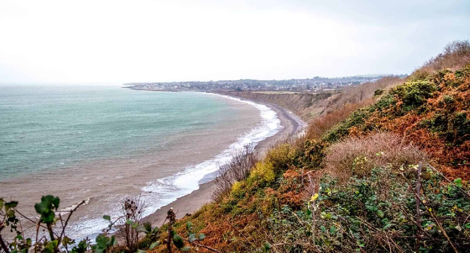
2. Bray to Greystones Cliff Walk (permanently closed)
Important update: The Bray to Greystone Cliff Walk is permanently closed to the public due to landslide risk. I have removed all the details as the alternative route is also closed. I will update this section if the trails reopen.

3. Lough Bray (Upper and Lower)
Lough Bray is very close to Dublin and highly rewarding! The trail begins at the Lough Bray car park along the Old Military Road, with a brief ascent leading to the shores of Lough Bray Upper. The path winds along the edge of the lake presents dramatic landscapes over its deep waters, framed by steep cliffs and boggy moorland.
After around 2 km, you’ll reach Eagles Crag, a perfect vantage point that provides sweeping views over both Lough Bray Upper and Lower.
From Eagles Crag, the trail continues downhill towards Lough Bray Lower, circling the peaceful waters before looping back toward the starting point.
💡 Hike Details
Hike duration: 2 to 3 hours | Hike distance: 7 km | Ascent: Minimal | Difficulty: Easy
Terrain: Lakeside paths, moorland | Starting point: Lough Bray car park
Fun stop to add: On your way back, stop by Glencree Visitor Centre, a historic site with a café and a memorial garden dedicated to peace and reconciliation.
Getting to Lough Bray from Dublin City Centre
It’s about a 30-minute drive from Dublin via the R759. There is roadside parking available near the trailhead, but spaces are limited, so early arrival is recommended. Make sure to not block other cars.
👉 Read our full guide to hiking Lough Bray Upper & Lower!

4. Luggala
Luggala, also known as Fancy Mountain, is one of the most striking hikes in County Wicklow, offering stunning sights over Lough Tay, famously known as the “Guinness Lake.”
Luggala’s unique shape and steep slopes make it a favorite for hikers seeking a more challenging climb. You can start the hike from a couple of locations: either from the Luggala Estate Pier Gates entrance or the Old Military Road. I recommend the latter for an easier route, though the trail can be hard to follow due to hip-high heathers and ferns.
At the summit, you’ll be rewarded with panoramic views of the Wicklow Mountains, Lough Tay, and the surrounding valleys.
💡 Hike Details
Hike duration: 3 hours | Hike distance: 7 to 8 km | Ascent: Steep | Difficulty: Moderate to challenging
Terrain: Rocky and steep paths with some uneven terrain | Starting point: Pier Gates (Lough Tay) or Old Military Road
👉 Tip: The route to the summit isn’t signposted, so it’s essential to bring a map or GPS device to help navigate the various paths.
Getting to Luggala from Dublin City Centre
Driving is the most convenient way to reach Luggala. From Dublin, it takes about 1 hour via the N11 and R759. There is a large parking across from the Luggala estate entrance. If you want to hike from the Old military road, you will find a small car park near the start of the hike (but there are no signs. Here is the coordinates 53.1176591229501, -6.301493859476127)

5. Slieve Bloom (Glenbarrow Waterfall Loop)
The Slieve Bloom Mountains, located on the border of Counties Laois and Offaly, are home to some of Ireland’s most peaceful and unspoiled landscapes. One of the best hikes in the area is the Glenbarrow Waterfall Loop, which combines tranquil woodland paths, riverbank trails, and the stunning Glenbarrow Waterfall.
This hike is a wonderful option for those looking to escape the busier trails and enjoy a quieter walk in nature, especially during autumn when the leaves turn orange and red!
💡 Hike Details
Hike duration: 2.5 to 3 hours | Hike distance: 8 km | Ascent: Minimal to moderate | Difficulty: Easy
Terrain: Woodland paths, riverbank trails, and rocky sections near the waterfall | Starting point: Glenbarrow trailhead (Slieve Bloom Mountains)
Fun stop to add: Explore the nearby Ridge of Cappard Loop, another scenic trail with sweeping views of the Slieve Bloom Mountains.
Getting to Slieve Bloom from Dublin City Centre
Driving is the most convenient way to reach the Slieve Bloom Mountains. From Dublin, it’s about a 1.5-hour drive via the M7 and R422 to the Glenbarrow car park. Free Parking is available.

6. Glendalough Spinc (White Route)
The Glendalough Spinc (White Route) is one of the most popular hikes in the Wicklow Mountains. This looped trail is moderately challenging but highly rewarding, combining a forested climb with open mountain terrain and incredible views over the Glenealo Valley and the two glacial lakes.
Starting from the Glendalough Visitor Centre, the White Route follows a well-marked trail that takes you past the upper lake, through woodlands, and up to the ridge of the Spinc, where the dramatic views of the valley unfold.
💡 Hike Details
Hike duration: 3.5 to 4 hours | Hike distance: 9 km | Ascent: Moderate to steep (300m) | Difficulty: Moderate
Terrain: Steep steps, forest paths, and boardwalks | Starting point: Glendalough Visitor Centre
Fun stop to add: Stop by the Glendalough Monastic City, a historic monastic settlement dating back to the 6th century, just a short detour from the starting point.
Getting to Glendalough from Dublin City Centre
By Public Transport:
You can reach Glendalough by taking the St. Kevin’s Bus service, which runs from Dublin’s city centre (St. Stephen’s Green) to the Glendalough Visitor Centre. The journey takes around 1 hour 15 minutes and drops you off right at the start of the trail.
Cost: Around €20 return for adults. For more details on how to go hike in Glendalough without a car, check out this article.
By Car:
Glendalough is a 1 to 1.5-hour drive from Dublin via the M50 and R756. There is ample parking available at the Visitor Centre, though it can fill up quickly on weekends, so it’s best to arrive early. Parking costs €4 per car.
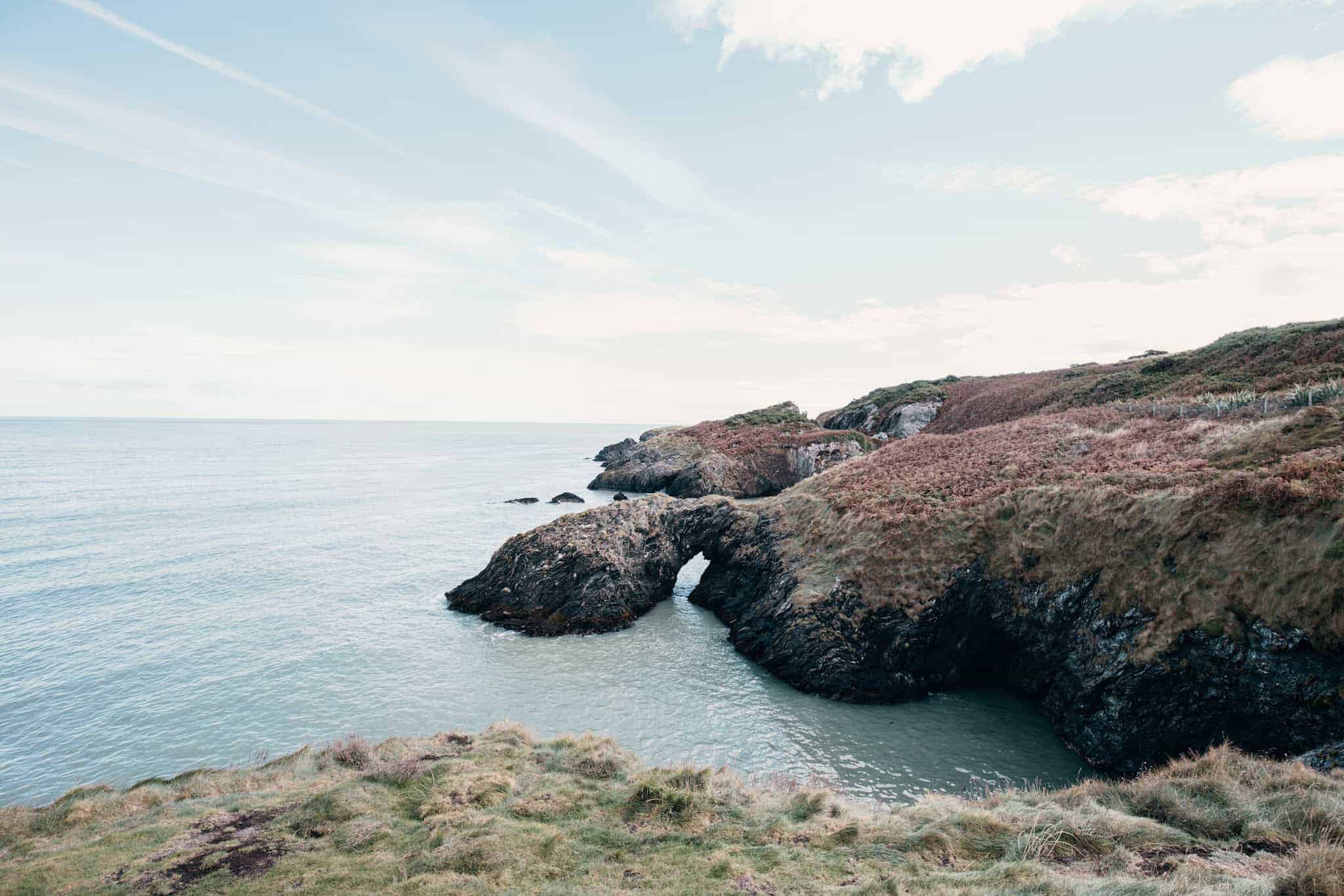
7. Wicklow Cliffs Walk
The Wicklow Cliffs Walk, also known as the Glen Beach Cliff Walk, is a hidden gem along Ireland’s east coast.
Starting from Glen Beach Car Park near Wicklow Town, the trail is relatively quiet compared to some of the more famous coastal walks, making it a perfect spot for those seeking a tranquil walk. From August, you might spot seals and their pups chilling on the beach (closed to public during the pup season).
💡 Hike Details
Hike duration: 1 to 1.5 hours | Hike distance: 5 km | Ascent: Minimal | Difficulty: Easy to moderate
Terrain: Coastal paths, rocky cliffs, and beach sections |Starting point: Glen Beach Car Park, Wicklow Town
Fun stop to add: take a detour to the Black Castle ruins or Wicklow Gaol for a bit of local history after your hike.
Getting to Wicklow Cliffs from Dublin City Centre
By Public Transport:
You can take the DART or Irish Rail train from Dublin’s Connolly Station to Wicklow Town, which takes approximately 1 hour. From Wicklow Train Station, it’s about a 20-minute walk to Glen Beach Car Park, where the trail begins.
By Car:
Wicklow Town is about a 1-hour drive from Dublin via the M11. There’s parking available at the Glen Beach Car Park.
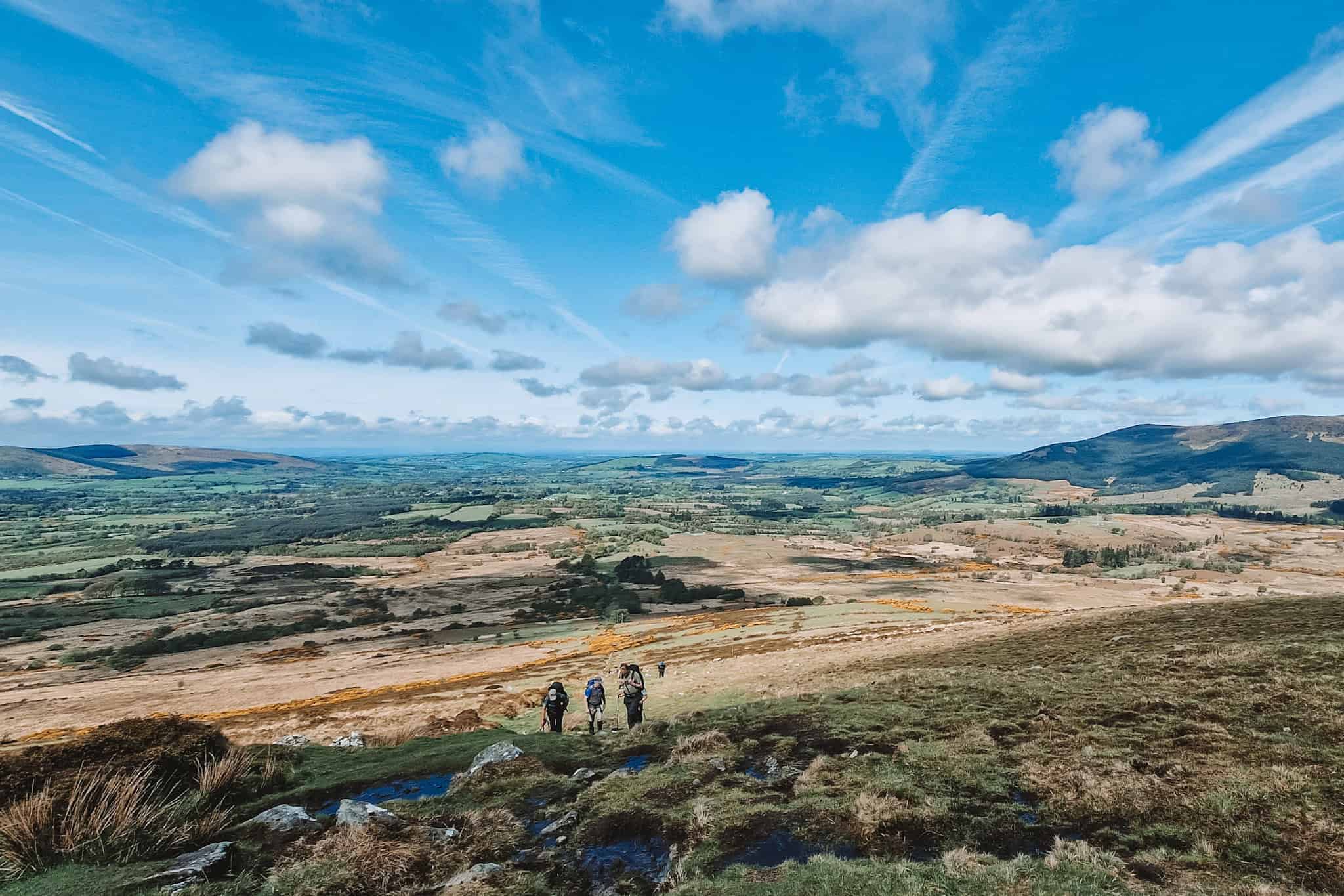
8. Lugnaquilla (Leinster highest peak)
Lugnaquilla, standing at 925 meters, is the highest peak in the Wicklow Mountains and the tallest peak in Leinster, making it a must-do hike for those looking for a more challenging adventure.
This hike is a true experience and for sure one of the best things to to in Leinster! On a clear day, you can enjoy sweeping panoramas over the Wicklow Mountains, the Glen of Imaal, and even as far as the Irish Sea. Out of the four times I’ve hiked it, I’ve never had the chance to see the view from the summit—I always ended up in the clouds, despite it being a sunny day.
But that’s okay! If you love hiking, the walk itself is both fun and rewarding.
Starting from the Glen of Imaal (Fenton’s Pub) car park, the trail takes you through the Camara Hill path before climbing onto the slopes of Lugnaquilla. The hike involves crossing open bogland, and the route can be quite exposed. The summit plateau of Lugnaquilla is broad and flat and is meant to showcase spectacular 360-degree views (when not shrouded in clouds!).
This hike is better suited to experienced hikers due to the distance, exposure to the elements, and the challenge of navigating the terrain. Proper hiking gear and preparation are essential, and it’s strongly advised not to attempt the hike in low visibility as it’s easy to get lost.
💡 Hike Details
Hike duration: 5 to 7 hours | Hike distance: 14 km | Ascent: Steep | Difficulty: Strenuous
Terrain: Open bogland, rocky paths, and exposed mountain slopes | Starting point: Glen of Imaal (Fenton’s Pub) car park
Fun stop to add: After your hike, visit the Glen of Imaal Military Museum nearby, where you can learn about the history of this military training area.
Getting to Lugnaquilla from Dublin City Centre
Lugnaquilla is about a 1.5-hour drive from Dublin. Take the N81 and follow signs for the Glen of Imaal, where you’ll find the Fenton’s Pub car park, the starting point for the hike. There is free parking available at the trailhead.
9. Great Sugar Loaf
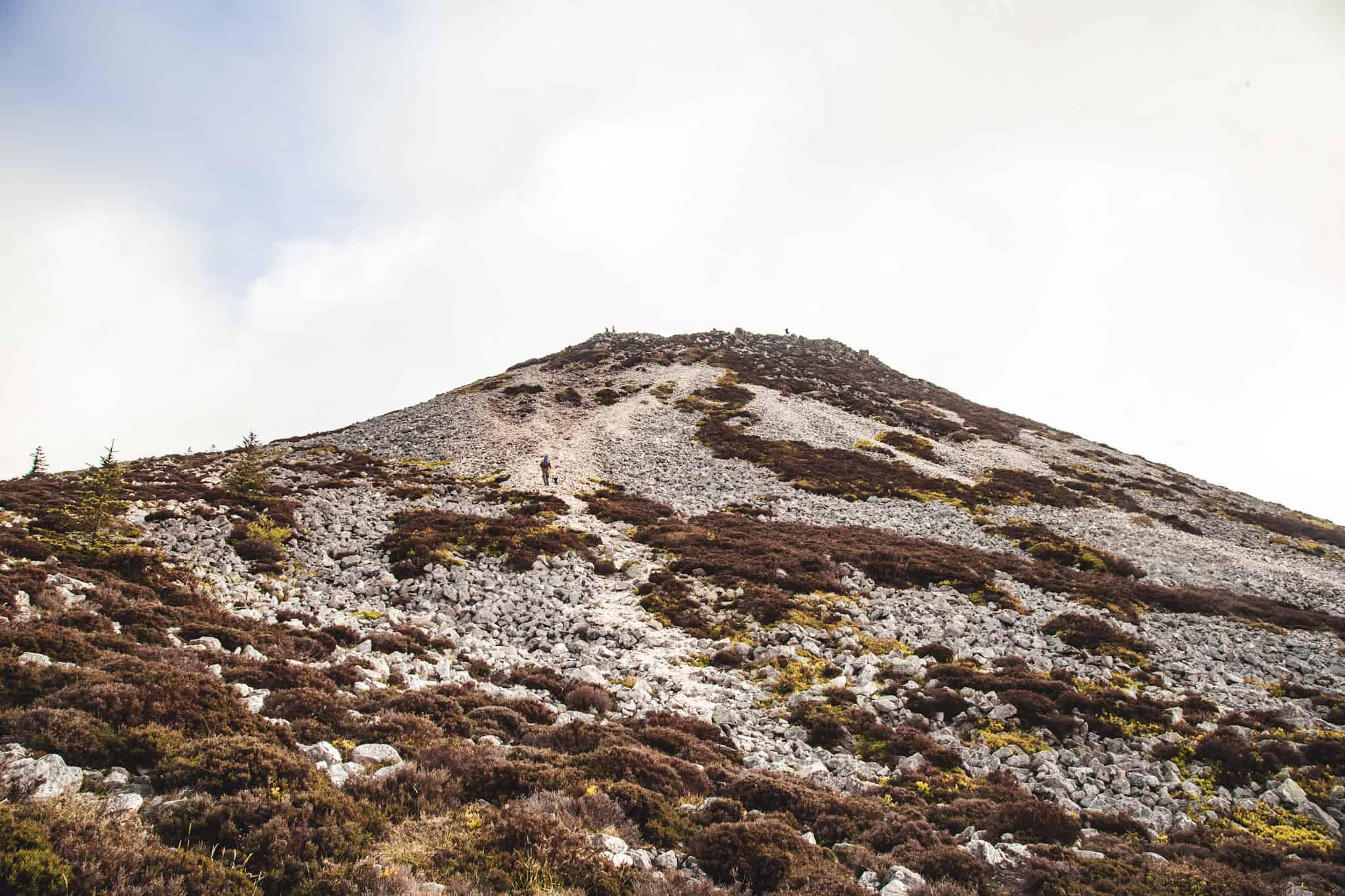
The Great Sugar Loaf is one of the most iconic hikes near Dublin, easily recognizable by its conical shape and standing proudly at 501 meters.
Despite its mountainous appearance, the hike is accessible to most walkers and unveils panoramic views over Dublin Bay, the Wicklow Mountains, and as far as the Irish Sea on a clear day.
The climb to the summit may be short, but it involves a bit of a rocky scramble near the top, making it both fun and rewarding.
Starting from the car park at the base of the mountain, the trail gradually ascends through grassy paths before reaching the rocky summit section. While the last part of the climb requires some hands-on scrambling, it is manageable for most, and the spectacular scenery from the top make the effort well worth it.
The Great Sugar Loaf is perfect for those looking for a short yet rewarding hike with stunning 360-degree views.
💡 Hike Details
Hike duration: 1 to 1.5 hours | Hike distance: 3 km | Ascent: Moderate | Difficulty: Moderate
Terrain: Grassy paths, rocky scramble near summit | Starting point: Kilmacanogue (Sugar Loaf car park)
Fun stop to add: Check out the Glen of the Downs nature reserve nearby, which offers a lovely forest walk after your hike.
Getting to Great Sugar Loaf from Dublin City Centre
By Public Transport:
You can take the DART train to Bray and from there catch the Bus 185, which will bring you to Kilmacanogue Village, close to the base of the Sugar Loaf. From the village, it’s about a 20-30 minute walk along local roads to the car park and trailhead.
Alternatively, you can take Bus Éireann route 133 directly from Dublin City Centre (via Custom House Quay) to Kilmacanogue, which also takes about 40 minutes.
👉 Check out our article about the best hikes near dublin accessible without a car for more details.
By Car:
The easiest way to reach the Sugar Loaf is by car. It’s about a 30-minute drive from Dublin via the N11. Parking is available at the Sugar Loaf car park, which is the starting point for the hike.
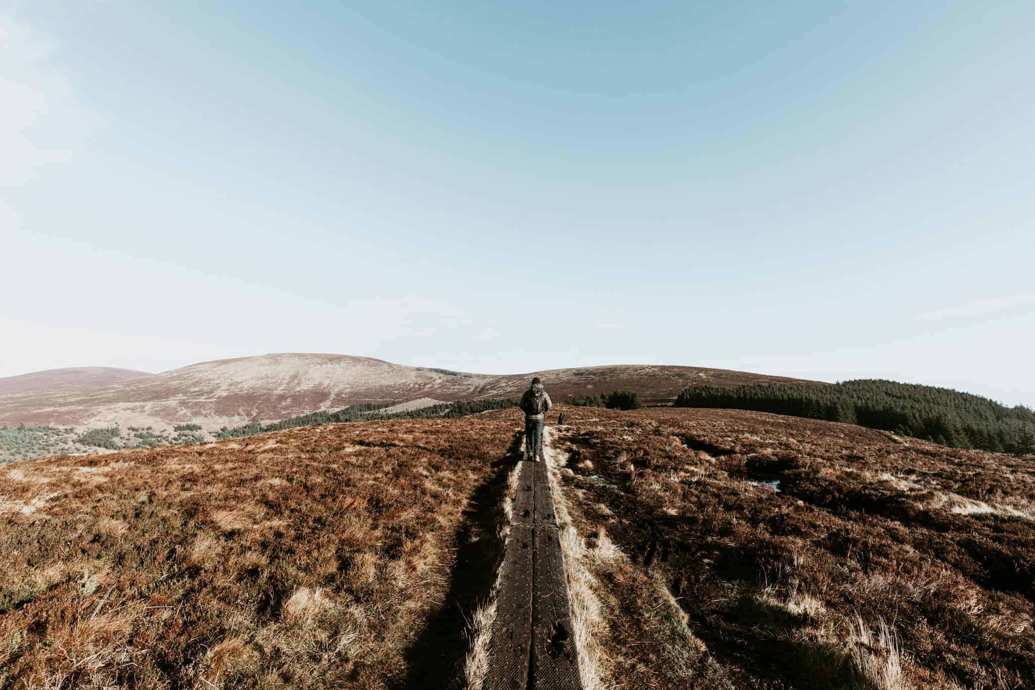
10. Djouce Mountain
Starting from the Lough Tay car park, the trail to Djouce begins with lovely stroll on large path before kicking things off with a gradual ascent over the rolling, exposed moorland of White Hill.
After crossing White Hill, the path continues on a wooden boardwalk to navigate the boggy sections and avoid impacting the fragile ecosystem. At the top, you’ll be rewarded with sweeping views of the Great Sugar Loaf, and the expansive Wicklow landscape.
The descent can follow the same route back, or you can loop around through the Wicklow Way for a slightly longer hike (sign-posted).
💡 Hike Details
Hike duration: 3 to 4 hours | Hike distance: 9 km | Ascent: Moderate to steep | Difficulty: Moderate
Terrain: Moorland, wooden boardwalks, and rocky sections | Starting point: Lough Tay car park
Fun stop to add: You can start the hike from the Luggala estate car park and walk through the Ballinastoe Wood (described below)
👉 Tip: The weather at the summit can change quickly, so be prepared with layers, and make sure to wear sturdy boots, as parts of the trail, particularly near the summit, can be rocky and exposed.
Getting to Djouce Mountain from Dublin City Centre
Djouce Mountain is about a 1-hour drive from Dublin. Take the N11 and R759 towards Lough Tay, and you’ll find parking near the lake (across from the Luggala Estate Gates). If close, continue up the road, you will find a couple of smaller parking spots.


11. Ballinastoe Woods
The Ballinastoe Woods is a very short hike mostly known for its iconic boardwalk photography. I recommend combining it with either Djouce summit hike, or some part of the Wicklow way before stopping at one of the Lough Tay viewpoints!
The easiest way to find the wood, is from the back of the large car park (Pier Gates) found across from the Luggala estate Gates. Follow the Wicklow way arrows! Sometimes the car park is closed but you can still access the walk from the road. Avoid breaking the fences, if you walk either down or up the road, you will find trails to get onto the Wicklow way or into the forest.
A common walk is to start from Pier Gates to J B Malone Memorial and back.
💡 Hike Details
Hike duration: 30 min | Hike distance: 2 km | Ascent: Easy| Difficulty: Easy
Terrain: Forest paths and boardwalk | Starting point: Pier Gates car park

12. Hellfire Club and Massey Woods
The Hellfire Club and Massey Woods hike is a popular trail located in the Dublin Mountains with open hilltop views. The Hellfire Club is an 18th-century hunting lodge now in ruins, with a notorious reputation. It sits atop Montpelier Hill which is easily accessible through the Massey woods.
Starting from the Hellfire Club car park, the trail leads you through the peaceful Massey Woods, a forested area filled with tall trees. The hike gradually ascends through the woods until you reach the Hellfire Club at the summit of Montpelier Hill. The ruins of the lodge, surrounded by legends of dark rituals, add an atmospheric element to the hike. From the top, you can take in sweeping views over Dublin, making it an ideal spot to relax and soak in the scenery.
💡 Hike Details
Hike duration: 1.5 to 2.5 hours | Hike distance: 4 to 6 km | Ascent: Moderate (steady climb to Montpelier Hill) | Difficulty: Easy to moderate
Terrain: Forest paths and grassy trails, with a steady incline to the summit | Starting point: Hellfire Club car park
Fun stop to add: Extend the hike by exploring the Massey Woods Loop, a peaceful trail through the forest with streams and old estate ruins.
Getting to the Hellfire Club from Dublin City Centre
Driving is the easiest way to reach the Hellfire Club. It’s about a 25-minute drive from Dublin City Centre via the R115 (Military Road). The Hellfire Club car park has limited parking (70 cars), so arriving early, especially on weekends, is advised.
Avoid parking along the road if the car park is full. It is not safe and you can be sure you’ll get clamped.

13. Carrickgollogan Forest Trail and Lead Mines
This easy hike starts from the Carrickgollogan car park where the trail meanders through peaceful woodlands before opening up onto the exposed hilltop. The climb is gentle, and the payoff is well worth it – at the top, you’ll be treated to stunning views over Dublin Bay and the Wicklow Mountains.
On your way to Carrickgollogan summit, you can do a small detour to the towering Lead Mines Chimney, an iconic landmark from the 19th-century lead mining era.
When you are back from the loop, if you feel like walking longer, you can cross the road and walk within the Barnaslingan Forest. It is a really beautiful place and you can get a great view from the Scalp Viewing Point.
💡 Hike Details
Hike duration: 1.5 to 2 hours | Hike distance: 5 km | Ascent: Gentle climb | Difficulty: Easy
Terrain: Forest paths | Starting point: Carrickgollogan car park
Getting to Carrickgollogan from Dublin City Centre
Carrickgollogan is around a 30-minute drive from Dublin City Centre via the M50 and R117. There is a small car park at the trailhead, but spaces can fill up quickly, so arrive early to secure parking.

14. Seefin Passage Tomb Hike
Located in the Dublin Mountains, Seefin Hill stands at 621 meters, and at its summit, you’ll find a 5,000-year-old Neolithic passage tomb—one of Ireland’s best-preserved ancient monuments.
This relatively short trail starts from the Seefin Forest car park and follows a steep but manageable ascent through open mountain terrain. The climb to the summit is rewarded with views of the surrounding valleys and hills, and the passage tomb itself is an impressive sight.
💡 Hike Details
Hike duration: 1 to 1.5 hours | Hike distance: 4.5 km | Ascent: Steep | Difficulty: Moderate
Terrain: Gravel and rocky paths| Starting point: Seefin Forest car park
Getting to Seefin from Dublin City Centre
Seefin is about a 45-minute drive from Dublin via the N81 and R759. There is a small car park at the trailhead, but spaces can be limited, especially on weekends, so it’s best to arrive early.
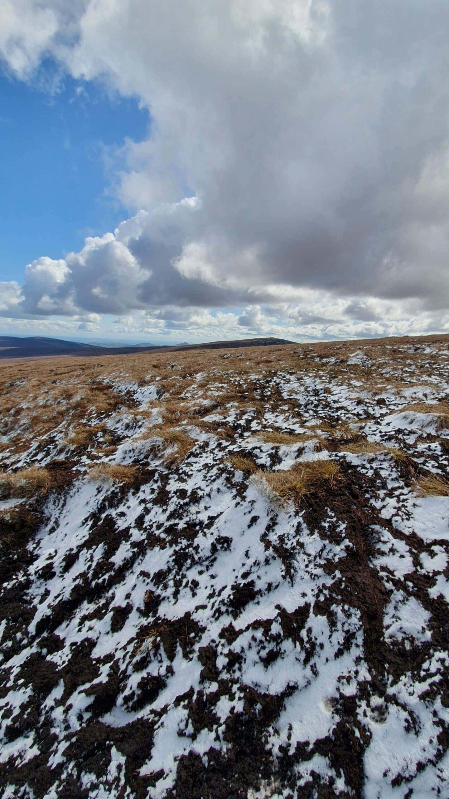

15. Seefin, Seahan, Seefingan & Corrig Loop (10 km)
For hikers seeking a more challenging and adventurous alternative, the Seefin, Seahan, Seefingan, and Corrig Loop is a fantastic 10 km trek through the Dublin Mountains. This loop takes you across four summits through varied terrain, giving a real sense of wilderness, all within a relatively short distance from Dublin.
Starting from the Seefin Forest car park, the route initially climbs to the Seefin Passage Tomb. From there, the trail continues across the open moorland to the summits of Seahan, Seefingan, and Corrig. These hills offer panoramic views of the Blessington Lakes, Glenasmole Valley, and the Wicklow Mountains, with some of the best vistas in the area. Along the way, you’ll also pass by ancient cairns and stone markers, remnants of Ireland’s prehistoric past.
This loop involves several steep ascents and descents and crosses exposed boggy terrain, so it’s best suited for those with a good level of fitness and proper hiking gear. It’s a rewarding, longer hike that takes you through some of the quieter and more remote sections of the Dublin Mountains.
💡 Hike Details
Hike duration: 4 to 5 hours | Hike distance: 10 km | Ascent: Steep, with multiple climbs | Difficulty: Moderate to challenging
Terrain: Boggy moorland, rocky paths, and open mountain ridges | Starting point: Seefin Forest car park
This loop is a great option for those looking to extend their Seefin hike into a full-day adventure, offering more summits and expansive views of the Dublin and Wicklow Mountains.

16. The Wicklow Way (Stage 1)
The Wicklow Way is Ireland’s oldest and most famous long-distance walking trail, and Stage 1 is the perfect introduction to this iconic route. Starting from Marlay Park in Dublin, this stage takes you through a mix of wooded paths, open hillsides, and quiet country lanes, eventually leading to Knockree.
Covering approximately 21 km, this section of the Wicklow Way passes through Kilmashogue Forest, the Glencree Valley and Glencullen. The route is well-marked, making it easy to follow even for first-time visitors to the area.
This stage is considered moderate, with a few steady climbs, but the changing scenery and views make it a rewarding journey. You’ll finish in Knockree, where you can either continue on the Wicklow Way or plan your return to Dublin.
💡 Hike Details
Hike duration: 5 to 6 hours | Hike distance: 21 km | Ascent: Moderate | Difficulty: Moderate
Terrain: Forest paths, country lanes, and open moorland | Starting point: Marlay Park, Dublin
Getting to Marlay Park from Dublin City Centre
By Public Transport:
Marlay Park is easily accessible by bus. Take Dublin Bus routes 16 or 116 from the city centre, which will bring you directly to the entrance of Marlay Park in about 30 to 40 minutes.
By Car:
Marlay Park is about a 20-minute drive from Dublin City Centre. There is ample parking available at several car parks within Marlay Park, so driving is a convenient option if you prefer to avoid public transport.
Getting back to Dublin:
Knockree is about a 5 km walk from Enniskerry Village. From Enniskerry, you can take Dublin Bus route 44, which runs to Dublin City Centre, stopping at St. Stephen’s Green and other locations in the city. The walk from Knockree to Enniskerry is relatively straightforward, though it adds some extra distance after your hike.
If you drove to Marlay park, the most convenient option is to take the bus 44 from Eniskerry, hop of in Dundrum and take a taxi to Marley park or take another bus (route 74).
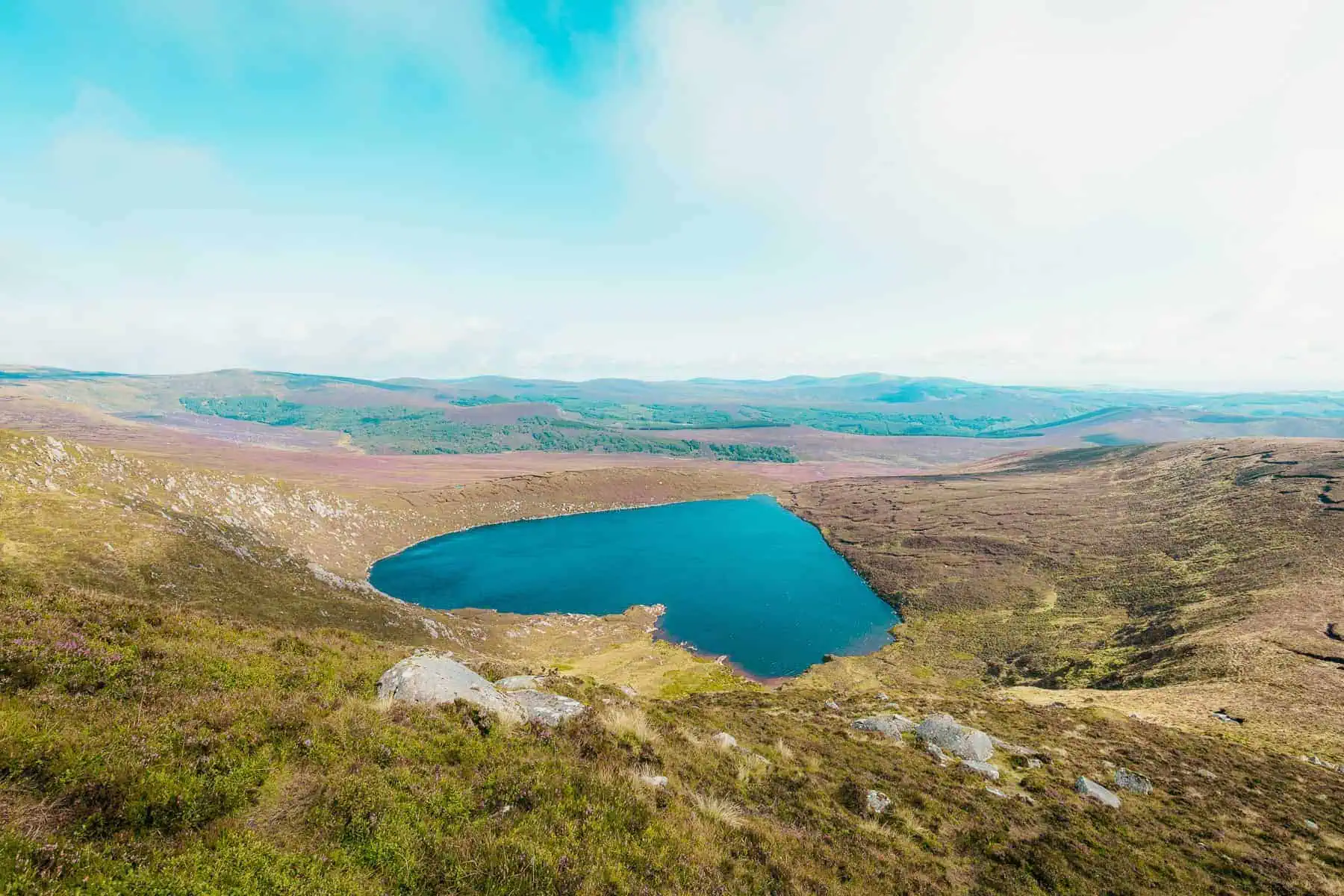
17. Tonelagee and Lough Ouler
Lough Ouler is Ireland’s famous heart-shaped lake overlooked by Tonelagee mountain standing at 817 meters.
There are 3 ways to hike Lough Ouler, but I will only mention the one starting from the Glenmacnass Valley car park, which is my opinion the most scenic. For more details on the 2 other trails, check out our dedicated article of hiking Lough Ouler.
The Glenmacnass trail follows a steep but manageable ascent through open moorland and boulders before reaching the summit of Tonelagee. From the summit, you’ll be rewarded with a breathtaking view of Lough Ouler nestled below in the valley.
💡 Hike Details
Hike duration: 3 to 4 hours | Hike distance: 8 km | Ascent: Moderate to steep | Difficulty: Moderate
Terrain: Open moorland, rocky paths, and boggy sections | Starting point: Glenmacnass Valley car park
Getting to Tonelagee and Lough Ouler from Dublin City Centre
Driving is the easiest way to reach the start of the trail. The Glenmacnass Valley car park is approximately a 1 to 1.5-hour drive from Dublin via the M50 and R756. The car park is free but can fill up quickly on weekends, so arriving early is recommended.
👉 Route, Map and all you need to know before hiking Lough Ouler
18. Ticknock Hill and Fairy Castle
Ticknock Hill and Fairy Castle is one of the most popular hikes in the Dublin Mountains. This scenic trail goes through forest paths, rocky paths, and up to the summit of Fairy Castle, a prehistoric cairn that sits 536 meters above sea level.
These cairns are believed to be entrances to the otherworld, often associated with fairies, which is how the Fairy Castle got its name.
From the top, you’ll enjoy panoramic views over Dublin City, Dublin Bay, and the Wicklow Mountains.
Ticknock is part of the Dublin Mountains Way, so you can also extend your hike if you’re up for more exploration on the surrounding trails.
💡 Hike Details
Hike duration: 2 to 3 hours | Hike distance: 5 to 7 km | Ascent: Moderate | Difficulty: Moderate
Terrain: Gravel paths, forestry trails, and rocky sections near the summit | Starting point: Ticknock Forest car park
Getting to Ticknock from Dublin City Centre
By Public Transport:
Getting to Ticknock by public transport is possible, but it involves a bit of a steep walk at the end. In my opinion, the best way is to take the Luas to Dundrum and the bus 44b until Glencullen. You can also walk from the Sandyford Luas, but use a GPS to not get lost in the estates. Count 30 min walk to the bottom of the hill.
By Car:
If you’re driving, Ticknock is about a 25-minute drive from Dublin City Centre. There is parking available at the Ticknock Forest car park, but it can get busy, especially on weekends. Arriving early is recommended to secure a spot.

19. Camaderry Mountain Loop (Glendalough)
The Camaderry Mountain Loop is not very known but it is a great hike in Wicklow mountains near Glendalough but away from the crowd! Starting from the Wicklow Gap car park, this loop trail passes Turlough Hill, Ireland’s largest pumped-storage hydroelectric station, before turning left towards the summit of Camaderry Mountain (698 meters).
From here, you should see on your right the sweeping panoramas of the Glendalough Valley and its famous lakes. To get back to the car, I like to walk via the Luganure Lead & Zinc Mine
before catching a portion of the St Kevin’s way.
💡 Hike Details
Hike duration: 4 to 5 hours | Hike distance: 10 km | Ascent: Moderate to steep | Difficulty: Moderate
Terrain: Rocky paths, open moorland | Starting point: Wicklow Gap car park
Getting to Camaderry Mountain from Dublin City Centre
The Wicklow Gap car park is about a 1-hour drive from Dublin via the R756. There is free parking available at the Wicklow Gap, which is a popular starting point for hikes in the area such as the Lough Ouler.
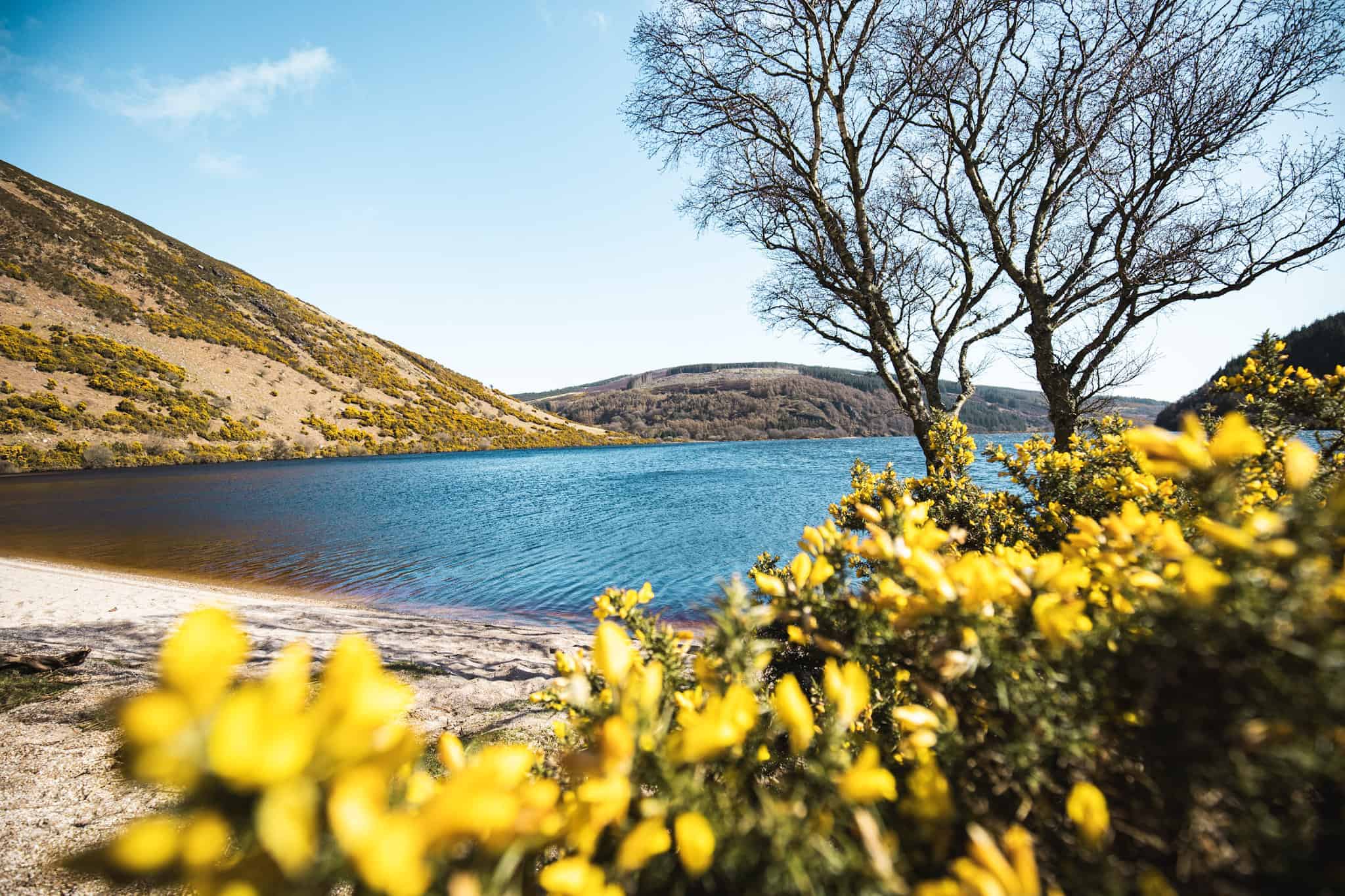
20. Lough Dan (via Luggala Estate)
The Lough Dan hike, starting at the Luggala Estate, is a beautiful trail combining woodland paths and open landscapes before reaching the lake.
The trail takes you within the private estate boundaries and gradually descends towards Lough Dan, a peaceful lake surrounded by mountains. Unfortunately, you won’t get to see Lough Tay along this trail, but you can still stop at one of the nearby viewpoints before or after your hike.
Lough Dan in itself is worth the effort anyway. This is one of my favourite hikes in the Wicklow mountains because it is very scenic and quiet. If you go early enough, you won’t see a soul on this hike!
👉 Read our full guide to hiking Lough Dan… In this article I detail 3 different hiking routes!
💡 Hike Details
Hike duration: 3 to 4 hours | Hike distance: 10 km | Ascent: Moderate | Difficulty: Moderate
Terrain: Forest paths, moorland, and lakeside trails | Starting point: Near Lough Tay Estate (along the R759) -eg. Pier Gates Car Park
Fun stop to add: Take a detour to visit Lough Tay viewpoint, where you can enjoy a stunning panoramic view over the Guinness Lake from above.
Getting to Lough Dan from Dublin City Centre
Same way as Djouce.
21. Slieve Foye and Carlingford
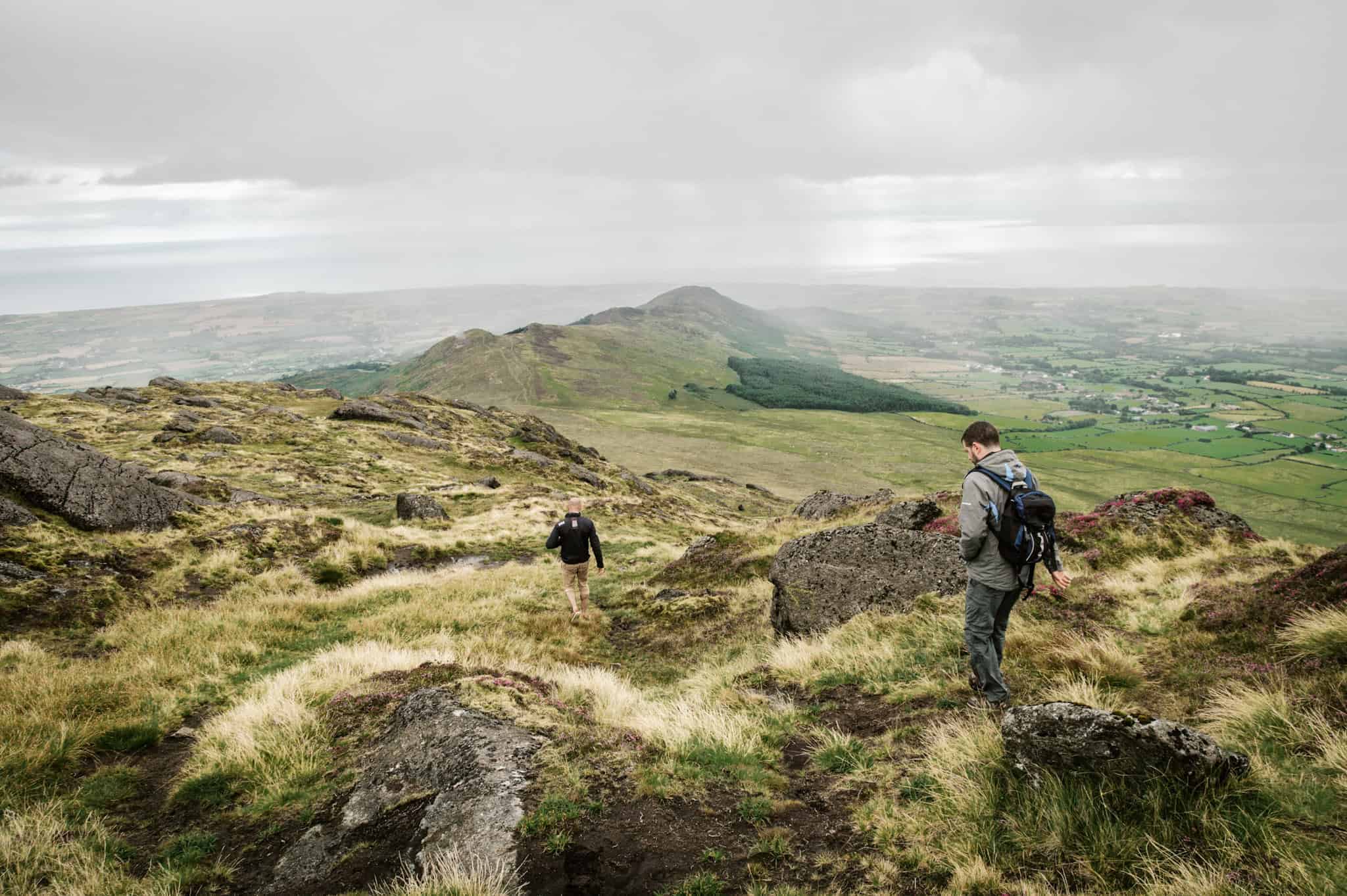
Culminating at 589 meters, Slieve Foye is the highest peak in County Louth. This challenging but rewarding hike offers expansive outlooks over Carlingford Lough, the Mourne Mountains, and the Cooley Peninsula.
Located just outside the picturesque town of Carlingford, this hike provides a great mix of mountain terrain, scenic coastal views, and the opportunity to explore one of Ireland’s ancient regions rich in mythology and history.
Starting from Carlingford village, the trail takes you up a steep but manageable ascent through grassy hills and rocky paths to the summit of Slieve Foye.
💡 Hike Details
Hike duration: 3 to 4 hours | Hike distance: 8 km | Ascent: Moderate to steep | Difficulty: Moderate
Terrain: Rocky paths and grassy slopes | Starting point: Carlingford village
Fun stop to add: Explore the charming medieval town of Carlingford, with its narrow streets, historic buildings, and King John’s Castle, a short walk from the trailhead.
Getting to Slieve Foye from Dublin City Centre
By Public Transport:
To reach Carlingford, take Bus Éireann route 161 from Dundalk. From Dublin, you can take a train or bus to Dundalk, then transfer to the 161 bus, which will bring you to Carlingford village, where the hike begins.
By Car:
Carlingford is about a 1.5-hour drive from Dublin via the M1 and R173. There is parking available in Carlingford village, which serves as the starting point for the hike.

22. Maulin via Crone Woods
This has to be my absolute favourite hike near Dublin! It provides a fantastic blend of forest trails, open mountain views and an unexpected vintage point of the famous Powerscourt Waterfall!
Situated in the Wicklow Mountains (like most of the hikes in this article) the hike begins with a gradual climb through the beautiful forest of Crone wood, followed by a series of stunning viewpoints of Powerscourt Waterfall and the Sugarloaf before reaching Maulin summit.
To head back to the car, close the loop by following the Wicklow way on your left (towards Tondruff mountain). You can also take a shortcut (straight after the reaching Maulin summit) but this is quite steep so take great care due to uneven surfaces.
💡 Hike Details
Hike duration: 3 to 4 hours | Hike distance: 10 km | Ascent: Moderate | Difficulty: Moderate
Terrain: Forest trails, rocky paths, and open moorland | Starting point: Crone Woods car park
Getting to Maulin Mountain from Dublin City Centre
Crone Woods is about a 45-minute drive from Dublin via the N11 and R117. A large and free parking is available at the Crone Woods car park where the hike starts.

23. Scarr Mountain
Scarr hike is often overlooked due its proximity to some other famous hikes in the area (lough Ouler, Luggala) but it has the advantage of showcasing sweeping views of Lough Dan. Standing at 641 meters, Scarr also provides a more remote and less-trafficked hiking experience, perfect for those looking to escape the crowds and enjoy the wild beauty of Wicklow.
Starting from the Glenmacnass car park, the trail initially follows a gentle forest and open trails before gradually ascending to Scarr summit.
💡 Hike Details
Hike duration: 2 hours | Hike distance: 5 km | Ascent: Moderate to steep | Difficulty: Moderate
Terrain: Forest paths, rocky trails, and open ridgelines | Starting point: Glenmacnass car park
Fun stop to add: take a short detour to Kanturk summit to make it a little bit longer!
Getting to Scarr Mountain from Dublin City Centre
Same as Lough Ouler
24. Knocknacloghoge (via Luggala Estate)
The hike up Knocknacloghoge is a hidden gem compared to the nearby Lough Ouler or Luggala, offering a quieter escape where you might encounter just a few other hikers. It’s the perfect choice for those seeking solitude and sweeping vistas over Lough Dan.
Starting from the Luggala Estate Pier Gates, the trail initially follows a road down to Lough Dan before climbing sharply through dense fern, heather, and spiky gorse. The route is quite challenging due to the lack of markings, boggy sections, and bushes that often conceal holes in the ground. Proper navigation skills and a higher level of fitness are essential, making this hike unsuitable for beginners.
Getting to Knocknacloghoge from Dublin City Centre
Same as Djouce
💡 Hike Details
Hike duration: 3-4 hours | Hike distance: 12 km | Ascent: Moderate to steep | Difficulty: Hard (due to lack proper trails)
Terrain: road, muddy trails, grassy slopes and boulders | Starting point: Pier Gates
Fun stop to add: On the way back, take a moment at the Lough Tay viewpoint for a look at the iconic Guinness Lake or got up the Ballisnatoe woods.
There you have it—some of the most epic trails you can explore within just 1.5 hours of Dublin! Whether you’re conquering mountain peaks, strolling along the coastline, or wandering through lush forests, hiking in Dublin offers something for every outdoor lover.
But I know there are always more hidden gems out there! If you’ve got a favorite hike near Dublin that I missed, drop a comment below and let me know. I’m always on the lookout for new trails to explore, and I’d love to hear your recommendations!

ARE YOU ON PINTEREST?
What about saving this post to your Pinterest board?
Click on the photo to save this blog post for later. Follow Travel Ireland Today ‘ boards to see our latest pins.

I help you explore Ireland like a local with insider tips, detailed itineraries, and practical advice.
HEY THERE! I’M JEN…
Funder, Author & Photographer behind travelirelandtoday.com
Ireland has been my home for the last 12 years. Before settling here, I spent years backpacking around the globe, visiting 65+ countries. Along the way, I discovered my love for hiking, photography, and crafting budget-friendly itineraries.
Through this website, I share the best things to do and see in Ireland, detailed hiking guides, and practical tips to help you plan your perfect Irish adventure. Let’s make your trip unforgettable!


I have only hiked Howth in December but I absolutely loved it. The bus trip was free with the Dublin Pass so I took advantage. Incredible!