
Best Hikes Near Dublin Without A Car
This website uses affiliate links which may earn a small commission at no extra cost to you. Thank you for your support.
Tucked between the Irish Sea and a low mountain range, Dublin is the perfect blend of city life and nature for those who love hiking!
While most visitors spend their time in Dublin exploring the city streets by day and indulging in Temple Bar’s famous stout at night, the nearby coastline and mountains are often overlooked. However, more often than we think, public transportation is sufficient to reach some of the best hikes in Dublin.
Are you looking for hikes in Dublin without a car? Well, you are in the right place! I have been living in Dublin for 10 years and never bought a car, although I love hiking and over the years I found hikes near me that I could get to with public transport!
Just a short bus or train ride away, you can embark on leisurely walks through dense forests, along breathtaking sea cliffs, or discover hidden blackwater mountain lakes! Here’s a selection of the finest hikes near Dublin that are easily accessible without a car.
Pss! If you want walks in the city center of Dublin then check out this article instead.
1. Howth Cliff Hike
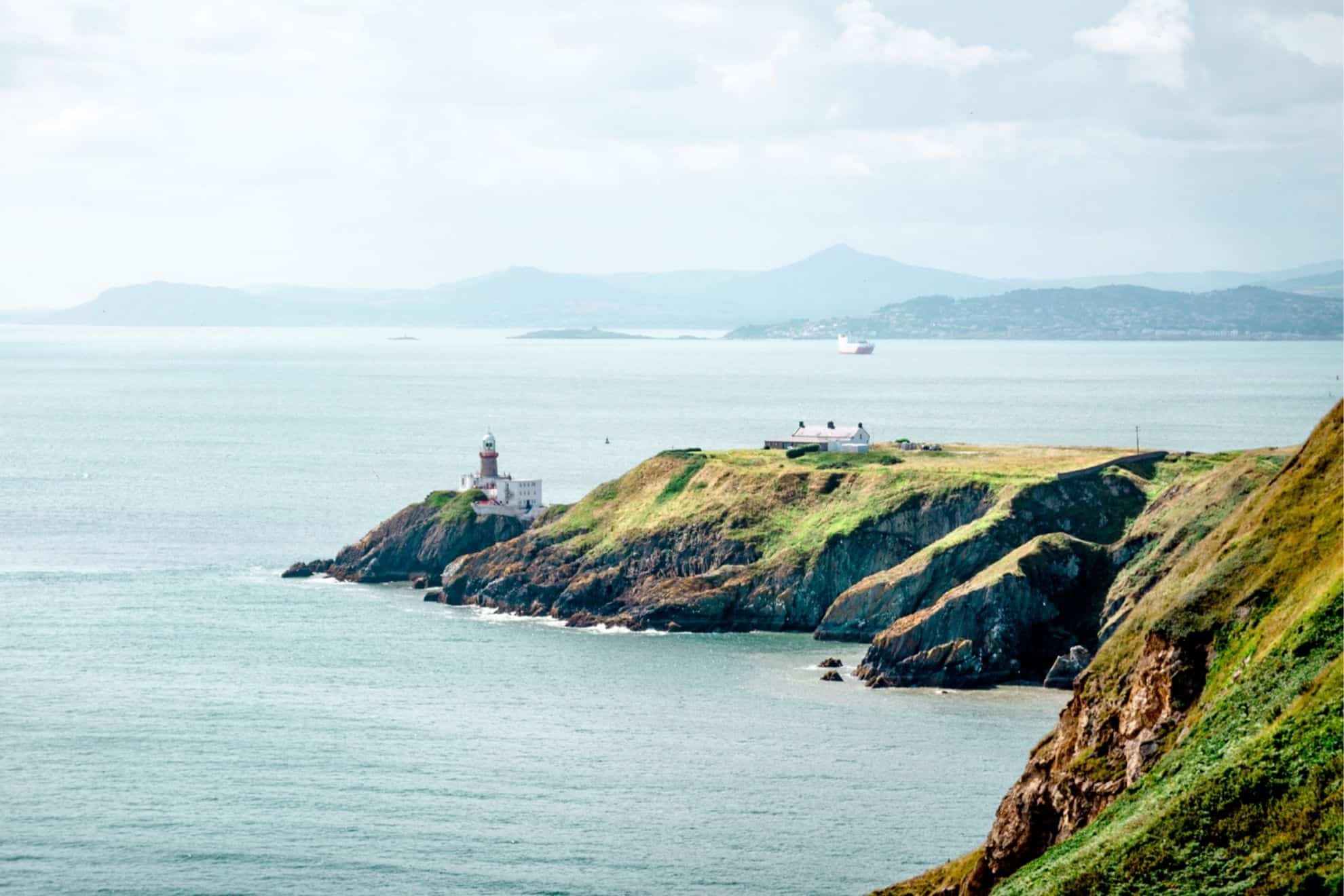
This is one of the most known and favourite Dublin hikes among locals. The Howth Cliff Hike is easy, quickly reachable from Dublin, and highly rewarding. It starts from the charming fishing village of Howth, only 15 km from the city and follows the Irish Sea coastline.
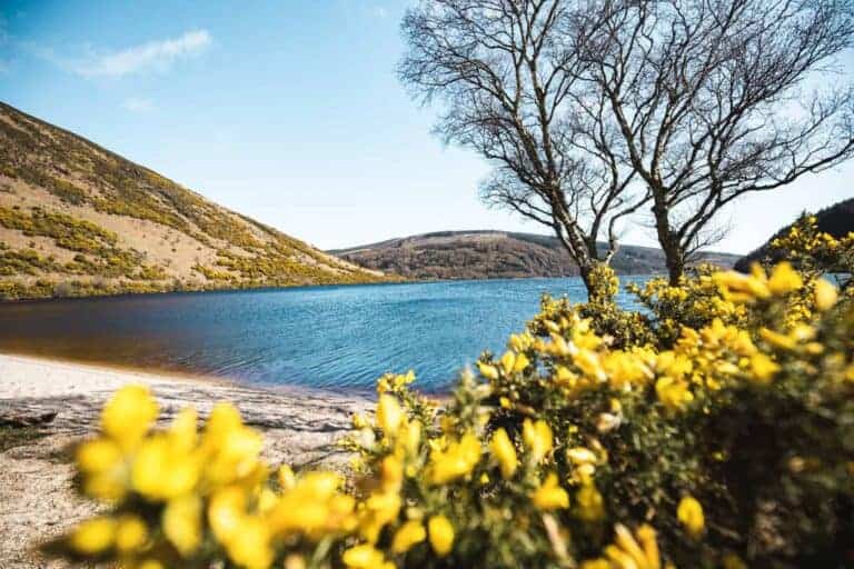
Along the way, you will catch impressive views over Howth Peninsula’s jagged cliffs and stroll on pathways bordered by flowering Furzes, a native shrub from Ireland that blooms all year long.
There are a few routes but the most common is the Howth Lower Cliff Walk, a 6 km loop trail from Howth train station to Howth Head and back via either an old tramline or the upper pathway.
If you have more time, you can do the Howth Black Linn Loop Walk that goes through Ben of Howth, the highest peak of the peninsula or the Howth Bog of Frogs Walk that follows the coastline for another 4 km!
All these routes pass by the “summit” car park from where you’ll get great views of the Baily Lighthouse (closed to public), Dublin Bay, and the southern mountain ranges in the background.
It takes about 1 hour to the Summit and it is from here that you’ll get to choose which route to take to get back. If you have had enough, you can also take a bus back to Howth Village from here.
💡What you need to know
Hike duration: half-day | Hike distance: 6 to 12 km | Ascent: 130 m | Difficulty: Easy
Terrain: paved and gravelled pathways | Accessibility: Not accessible to trolleys or wheelchairs. Avoid bikes | Starting point: Howth Harbour (after King Sitric Seafood Restaurant)
Fun stop to add: Balscaddeb Beach for a (fresh) swim
READ MORE >> Learn more about what to do in Howth if you visit for a day trip from Dublin!
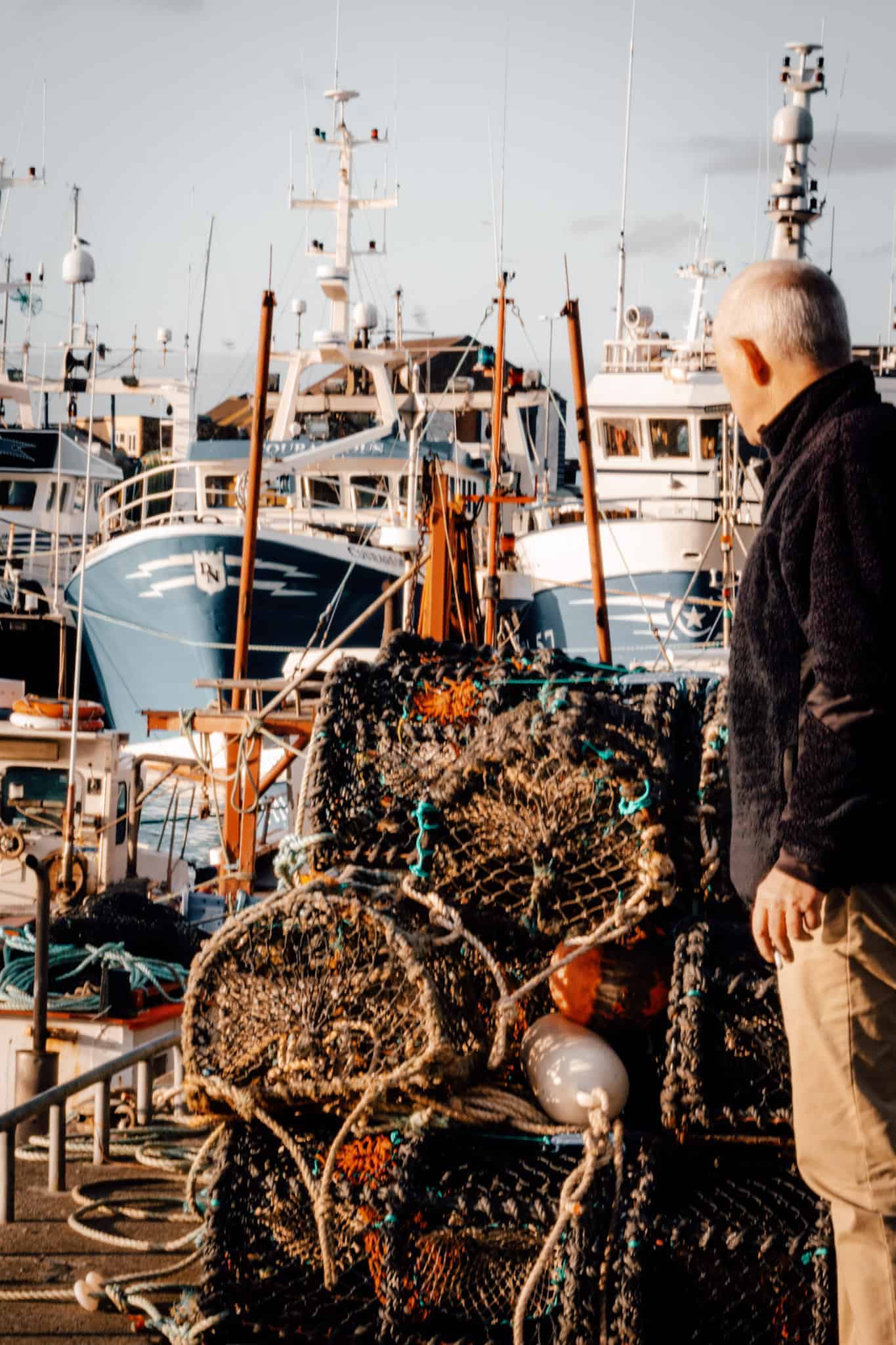

Getting to Howth from Dublin City Centre
You can either take the DART to Howth from one of the main train stations in the city centre of Dublin (Tara, Pearse, Connelly, Grand Canal) or catch the bus 31/31A from Talbot St or Connelly station. It takes a bit less than 30 min with the Dart and roughly 1 hour by bus. Cost = €6.25 return (€4.80 return with the leap card)
You can also drive to Howth in about 20 min from the city centre. There are a lot of parking spots at the harbour.
👉 There are signs from the Train station to the start of the walk – Tip: Follow the green route, you can hardly get lost!
Join a tour with an experienced guide
If you prefer to join a tour to hike in Howth, you can look into this 4-hour hiking adventure. The professional guide will share their knowledge about the local wildlife, history and even Irish legends! Check out availability and prices, here, or use the below widget!
Where to eat or drink after the hike
- Try the seafood chowder at the Brass Monkey restaurant or one of the best fish & chips in Dublin at Leo Burdocks.
- Visit Howth market where you can find lovely coffee at the Bodega Coffee shop, and tasty street food (local craft & artisan products – perfect for souvenirs)
- Grab a pint at The Bloody Stream or a hot chocolate at The Dog House Blue’s Tea Room.
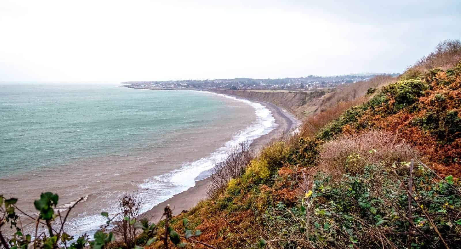
2. Bray to Greystones Cliff Hike (Permanently closed)
Important update: The Bray to Greystone Cliff Walk is permanently closed to the public due to landslide risk. I have removed all the details as the alternative route is also closed. I will update this section if the trails reopen.

3. Killiney Hill and Beach Walk
Killiney Hill is found in the south of Dublin, right on the Dart line, and offers some mighty views over Dublin and the Irish Sea without requiring too much effort! This is an excellent half-day walk near Dublin, which on a sunny day is ideal to end with a beach picnic and a refreshing swim.
Killiney Hill Park is well maintained and has a large network of trails going through dense forests, all leading to The Pyramid of Dublin and Killiney Hill Viewpoint. From these two great spots, you will get a 360-degree view over the city, the Dublin Mountains, Bray Head but also the Howth peninsula and Dublin Bay. It is without a doubt one of the best views in Dublin.
There are a few routes to get to the hill summit depending on where you are starting up (car park or Killiney Dart Station – see below). However, one of my favourite itineraries is to start in Dalkey village and walk along the coast to WhiteRock Beach via Coliemore Harbour, Dillon’s Park and Vico Bath. From there you can enter Killiney Hill Park and reach the summit after a quick 10-minute walk (a little bit steep but fairly manageable).
Once you are done with your walk, you can either take a bus back from Killiney village or get back to the coast to Killiney Bay Beach where you can get a Dart back into town. If the weather is good, I can only recommend a nice stop at the beach and why not a cheeky swim!
💡What you need to know
Hike duration: half-day | Hike distance: 2-5 km | Difficulty: Easy
Terrain: gravelled pathways, stairs, road
Getting to Killiney from Dublin City Centre
The easiest way is to take the Dart to one of the city center train stations (Pearse St, Tara, Connelly…) and hop off either at Killiney Hill or Dalkey. It should take about 30 min. From both train stations, you will have to walk a bit to the park but it is easy to follow and the road runs along the coast.
You can also take Bus 7 (a or b) from Lansdowne Park (near the Docks) to Glenageary. The drive is about 45 min plus 15 min walk to the entrance of the park (Tea Room side)
Where to eat or drink after the walk
- Stop at Tower Tea Rooms Killiney Hill for a hot drink and a cake
- Grab a 99 from the ice cream truck often found at Killiney Bay Beach car park.
- Bring a picnic you can enjoy at the Killiney Hill Obelisk or at the beach!
- You can also stop in Dalkey and grab soe food at one of the town’s restaurants
4. Lucan to Hazelhatch Canal walk
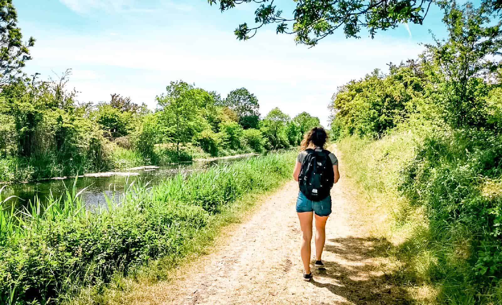
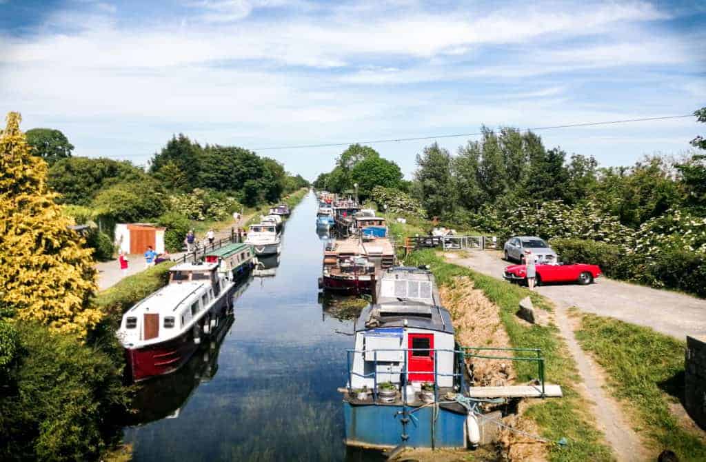
The walk from Lucan to Hazelhatch is not really known locally. However, I believe it is an excellent escape from Dublin during the summer days if you just want to get these steps up in the sun, close to nature and away from the buzzing seaside towns of Howth and Bray.
This nice and easy walk takes you along the “Grand Canal, a waterway that links the Dublin city centre to Shannon Harbour, more than 130km west. Built over the 18th century, the canal was once mainly used to transport goods to rural villages such as Barrel of Guinness (!) but also local passengers travelling to the city. It is now mostly used for leisure boating, fishing and kayaking.
Walking the canal is also a very different experience from the usual mountain or coastal hikes found around Dublin. Here, the path rolls out under your feet without much pondering and the local houseboats lining the channel bring uncommon scenery to the already singular half-day escape.
The walk from Lucan (12th Lock Bridge) to Hazelhatch is the first part of the 117km long Grand Canal walk which can be completed in 5 days.
From the lock 12th, it is only 5km to Hazelhatch but you can start from wherever you want in Dublin or continue to Sallins which is an extra 12km after Hazelhatch.
I don’t especially like the part between Inchicore and Clondalkin, so I may recommend going to Sallins if you want to walk longer than 5km.
💡What you need to know
Hike duration: half-day | Hike distance: 5km | Difficulty: Easy
Terrain: gravelled pathways | Accessibility: Accessible to trolleys but not wheelchairs. You can also easily cycle or Kayak!

Getting to Lucan from Dublin City Centre
The best way to reach the 12th Lock Bridge is to take bus 151 from the city centre and hop off at stop 7016 on Lynch’s Lane. From there you will have to walk along the Grand Canal for 20 min. On the way back, head towards the train station north of Hazelhatch and jump on a train back to Heuston station.
If you decide to continue to Sallins, you can also jump on a train back to Heuston station from the village. Just make sure to check the timetable ahead of time, mainly on weekends when the trains a less frequent.
5. Ticknock, Three Rock & Fairy Castle
Ticknock is one of the best hikes near Dublin as it is easy but also highly rewarding with its impressive views over Dublin and its bay. Thicknock tends to be busy on weekends with families, groups of friends and mountain bikers.
I always thought that every locals knew about it but lately, I have met a few born-and-raised Dubliners who had never heard of it… It really surprised me, all the more when Ticknock Hill is visible from town and highly recognizable for its 3 huge antennas overlooking the Capital.
Ticknock Hill is found in the Dublin Mountains only a couple of kilometers from Dublin. The hike is easily accessible by car, but also with local transportation (see below for more details).
The area offers an extensive network of trails accessible to walkers but also mountain bikers.
The locals’ favourite is Fairy Castle loop. Personally, I really like going to the 3 Rocks mountain from Sandyford for a good 45-min workout uphill. I usually end this hike with a little snack watching climbers training on the large boulders.
If you prefer an easier walk, start from the main car park and make your way through the forest towards 3 Rocks mountain, then turn right to the fairy castle and close the loop by following the green arrows.
💡What you need to know
Hike duration: half-day | Hike distance: 6 km | Difficulty: Easy
Terrain: tarmac, gravel, and boardwalk | Accessibility: Accessible to trolleys and wheelchairs (for a small portion only). There are plenty of mountain trails so make sure to not walk these trails to avoid accidents. It is well signposted
Getting to Ticknock from Dublin City Centre
Ticknock is only a 30-min drive from the city centre. There is a free car park which tends to be very busy on weekends, so aim to go early morning. If you don’t find a spot, you can also go to Kilmashogue forest (10 min drive) and start your walk to Ticknock from there.
If you are on foot, you can take the bus 44B from Dublin or Dundrum or the 114 from Blackrock or Sandyford. For both lines, you will be dropped off at the foot of the Hill. You can either follow the main road to the car park but I would recommend starting the walk uphill from here.
It is a lesser-known trail, but one of my favourite trails to go to Ticknock. I have done it many times, it is steep but highly rewarding.
Where to eat or drink after the hike
- Take a picnic with you and enjoy the mighty views of Dublin while you eat.
- Biking.ie container rents mountain bikes but also serves hot drinks and sells nibbles.
6. Wicklow Mountains: Glendalough Lake hikes
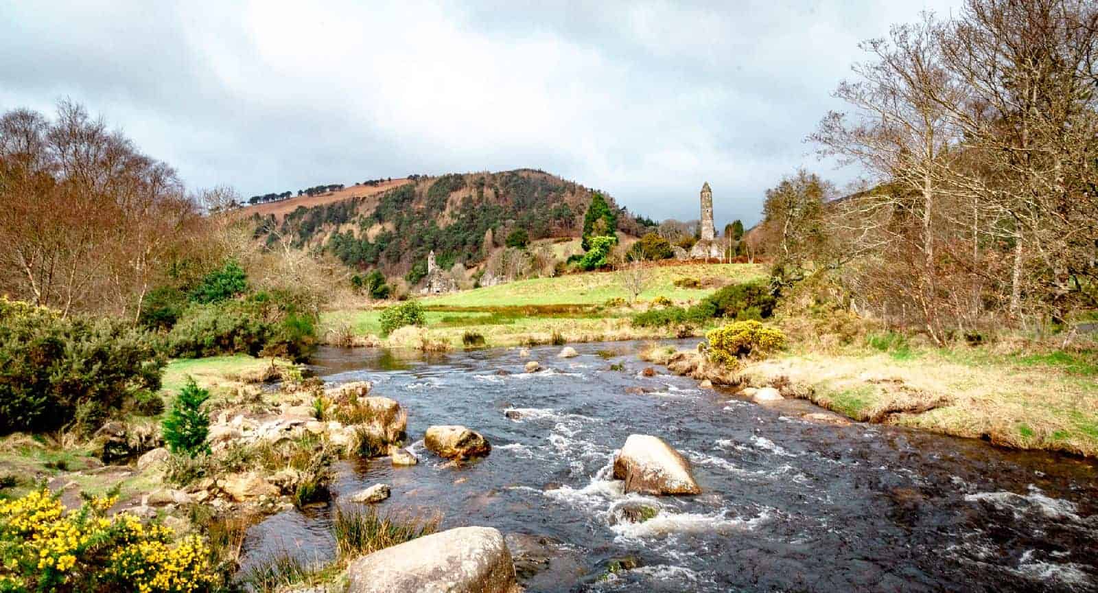
Located about 1 hour south of Dublin, tucked away at the bottom of a valley in the heart of the Wicklow mountain range, Glendalough attracts locals and tourists for its incredible sceneries, unique history, and various hiking opportunities.
With its 2 beautiful black lakes, its well-preserved monastic ruins as well as waterfalls, and countless trails, Glendalough is in fact unmissable.
The area is accessible to any fitness level thanks to its walking trails ranging from easy to moderate.
For those interested in a nice and easy afternoon stroll, head to the Upper Lake and enjoy a 4 km return flat path along the Upper Lake to the Old Mines. This is the Miners Road Walk. You will get to enjoy the gorgeous valley from the bottom, and stroll under giant pine trees and might even get rewarded by spotting some of Glendalough’s wildlife on the way such as Mountain goats.
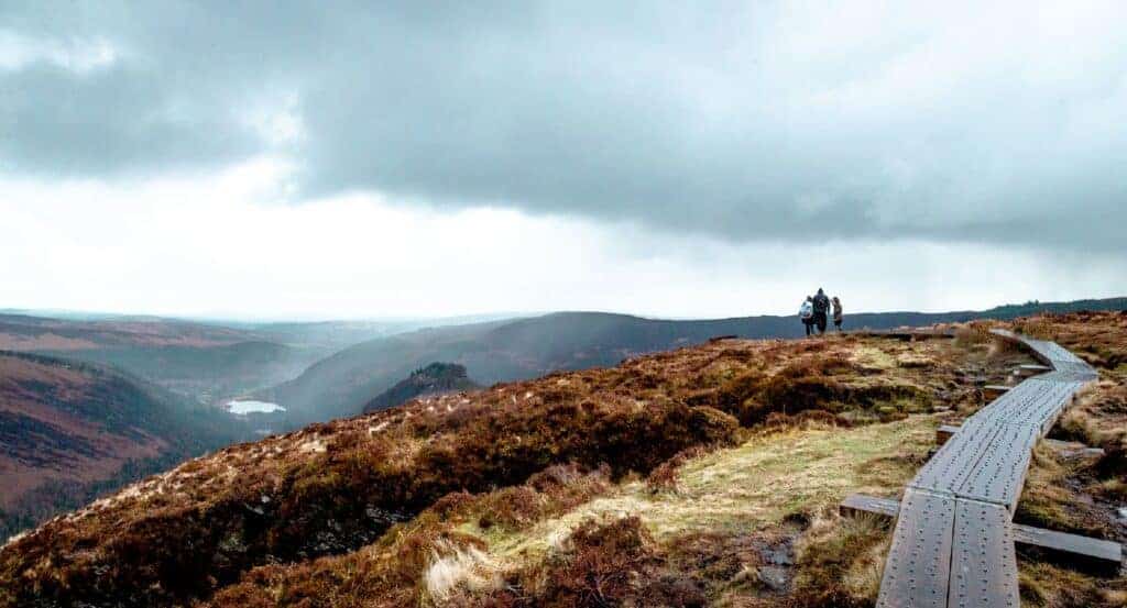
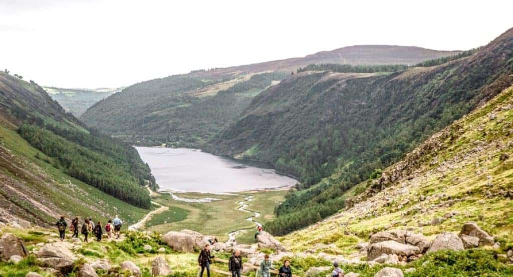
For those looking for a bit of a workout or a more challenging walk, I would recommend the Spinc Loop. This 9.5km loop is moderate but probably the most popular hike in Glendalough. It will take you around the Upper Lake with some of the best views over the Glenealo Valley.
Both of these hikes can also be coupled with the Heritage Trail that goes from the Visitor Center to the old monastic site. It is a very short but highly rewarding walk with gorgeous views of the 6th-century settlement ruins.
The round tower and cemetery are particularly interesting to stop by. If you come by bus, you will have to take this trail to reach the Spinc loop or the old mine stroll described above. Those who are driving might want to park at the first car park to not miss the Monastic site.
💡What you need to know
Hike duration: half-day to a day | Hike distance: 4 to 12 km | Difficulty: Easy to Moderate
Terrain: Tarmac, gravel, and boardwalk | Accessibility: Some trails are accessible to trolleys and wheelchairs. It is well signposted
Getting to Glendalough from Dublin City Centre
A private company runs daily shuttles from St Stephen’s Green (via Lesson St and Bray) to Glendalough Visitor Center.
Return tickets cost €20 and it takes about 1 hour one-way. There are only 2 buses leaving St Stephen’s green per day. One in the morning at 11:30 am, and one in the evening at 6 pm. The bus returns at 7 am and 4:30 pm from Glendalough to Dublin.
Make sure to be there early in the morning to save a spot as the tickets can only be purchased on board. Also, make sure to not miss the return in the afternoon. There are some extra services during the summer (9:45 am from Dublin).
There are also 2 car parks (€4 per day) which tend to fill up in the afternoon. Aim for an early visit outside school holidays and weekends, to enjoy the park without too many people around.
Join a tour with an experienced guide
If you prefer to join a tour to visit Glendalough and Wicklow Mountain you can look into Experience or check the below tool to find immediate availability.
Where to eat or drink after the hike
- There are a lot of tables around the lake you can use for a picnic
- You can buy food (chips, fried chicken etc.) and hot drinks at the food trucks found at the Upper lake car park
- There are also a couple of restaurants and hotels to grab a bite: St Kevin’s Kitchen, The Glendalough, etc.
7. Great Sugar Loaf
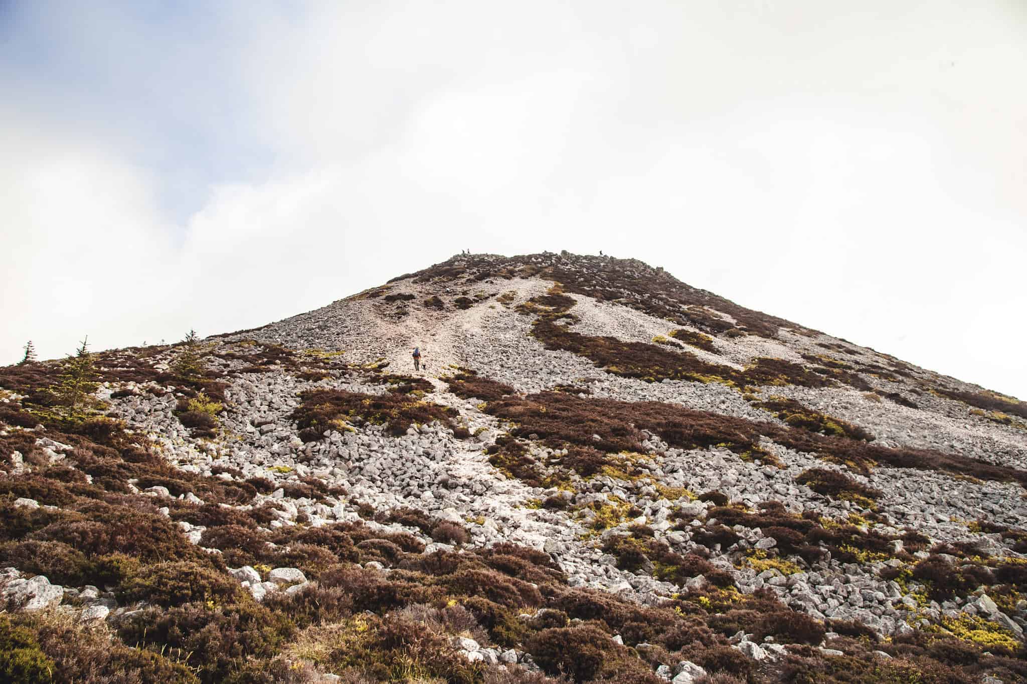
The Great hike offers a taste of mountain hiking without needing to venture too far from Dublin. This peak hike is a beloved escape for city dwellers and gives stunning 360-degree views of the Wicklow Mountains and Dublin Bay.
The Great Sugar Loaf stands at 501 meters and is quite iconic for its conical shape, resembling a miniature mountain. Its rocky summit promises a short but slightly challenging scramble at the top, perfect for those looking to add a bit of adventure. The climb to the summit is worth the effort for the spectacular views stretching all the way to the Irish Sea.
For a more relaxed stroll, you can opt for the Little Sugar Loaf. At 342 meters, it’s less demanding but still rewards hikers with lovely views of the surrounding countryside.
💡What you need to know
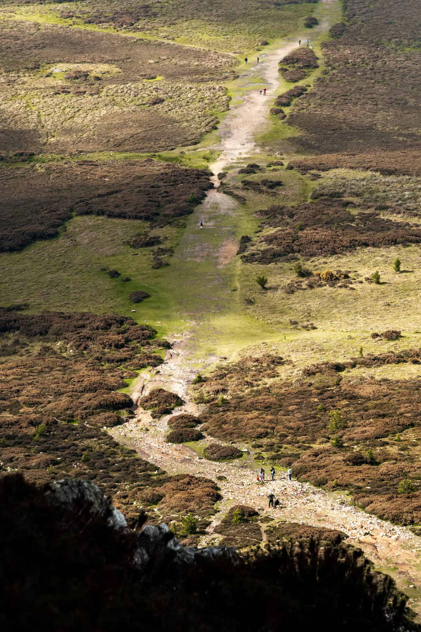
Hike duration: 1 hour | Hike distance: 3 km | Difficulty: Easy
Terrain: Rocky and gravel paths; the Great Sugar Loaf summit involves a short scramble | Accessibility: Not suitable for strollers or wheelchairs | Starting point: Kilmacanogue village
Getting to Sugar Loaf from Dublin City Centre
From Dublin, Bus Eireann route 133 from Dublin City Centre (via the Custom House Quay) also stops in Kilmacanogue. This is in y opinion the easiest way.
Alternatively, you can take the DART to Bray and from there, hop on the Bus 185, which will bring you to Kilmacanogue. The bus ride takes about 20-25 minutes from Bray, and the DART journey from Dublin to Bray takes around 45 minutes.
The bus stop in Kilmacanogue is just a short walk from the start of the trailhead.
From the bus stop (coming from Dubin), head towards the pedestrian bridge near Circle K pump station that crosses over the N11 motorway. After crossing the bridge, turn right to a small roundabout and follow the signs pointing towards the R755. At the next roundabout, turn left and immediately right (onto Guill Rd & then Glencap Rd), following the road until the GAA club where you can start the trail reach Sugar Load.
👉 Tip: Be careful on the road as there are no pedestrian path
Alternative: Hike Little Sugar Loaf
You can also hike Little Sugar Loaf, which is on the other side of the N11 (side you get dropped off by the bus). To start the walk, take the small path right next to the bus stop and head towards Bohnilla Lane which you will follow for 1km until you see a small sign on the left of the road indicating the start of Little Sugar Loaf Hike. (Be careful on the road as there are no pedestrian path)
Where to eat or drink after the hike
- Avoca Handweavers café in Kilmacanogue is a great stop. Just off the N11 where the bus stops. They serve sandwiches, salads, and homemade pastries. It also has a farm shop where you can pick up some goodies to take home.
8. Wicklow Cliffs Hike (Glen Beach Walk)
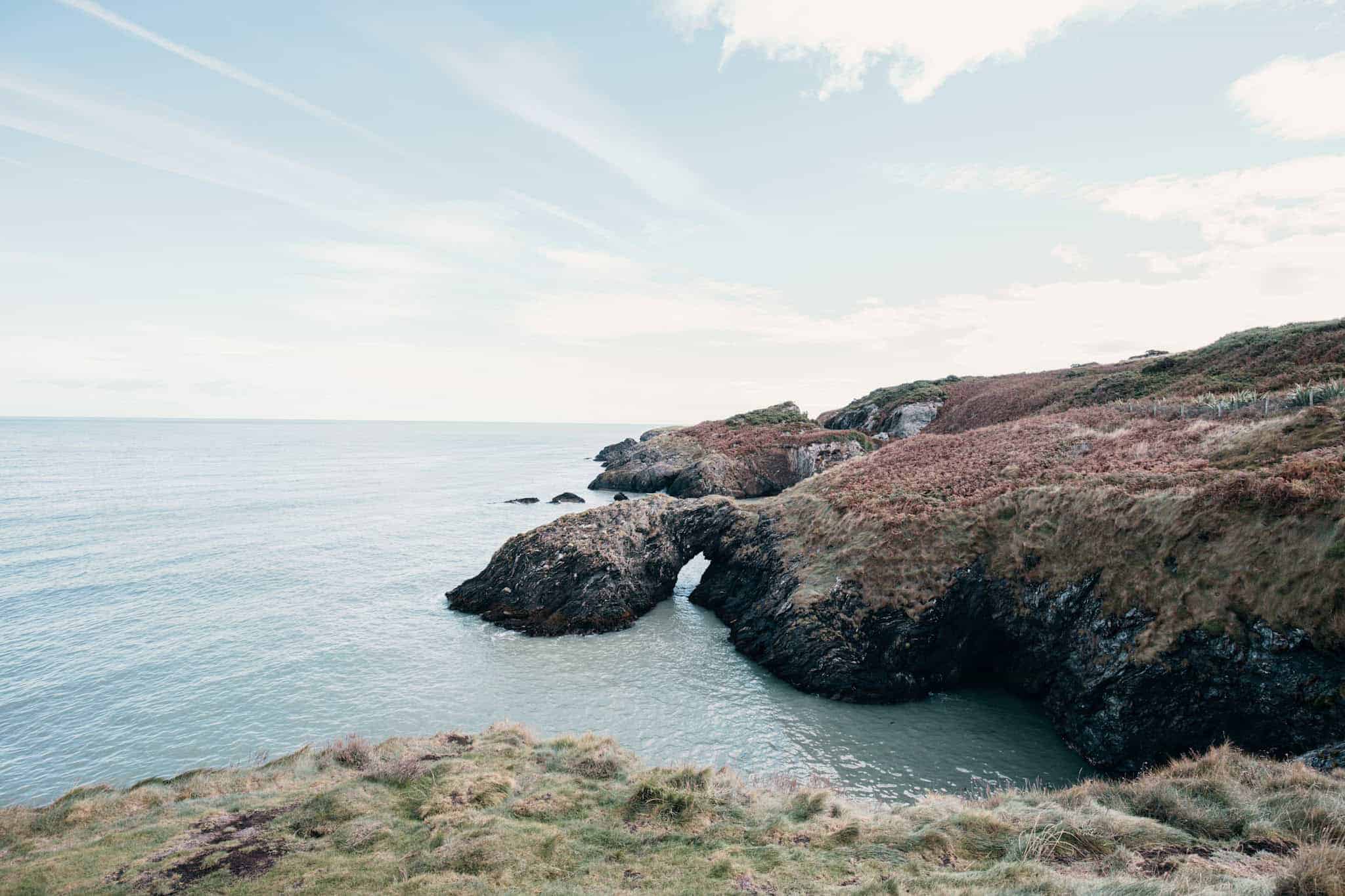
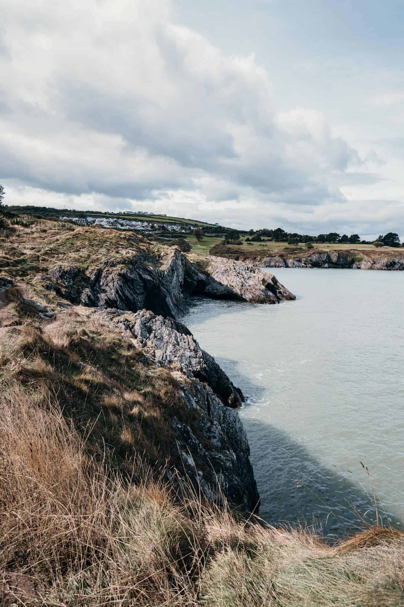
The Wicklow Cliffs hike, also known as the Glen Beach Walk, is a stunning coastal trail that combines dramatic cliff views with peaceful beach strolls. Starting at the Glen Beach Car Park, this walk is a hidden gem just outside Wicklow Town.
It’s perfect for those looking to experience the beauty of Ireland’s coastline in a more secluded and quiet setting.
⚠️During the Seal Pup Season, from August to February, parts of Glen Beach and Tra Cille Aoil may be restricted to protect the wildlife, as grey seals come to the shores to raise their pups. These restrictions are in place to ensure the seals are not disturbed, as human interaction can be stressful for both mother and pups.
Visitors are encouraged to respect the boundaries and observe these beautiful creatures from the hiking path instead which is the best way anyway to see them!
The hike follows a scenic path along small cliffs with great views of the Irish Sea and Wicklow Head. Along the way, you’ll pass some secluded beaches where you can see the Seals. A small turn on the left half way, up to Ceann Bhríde is the best place to watch the animals resting below.
👉 Pss: Be extra careful as there are no handrail along the trail and it can be dangerous if you get too close to the cliff edge.
This hike is relatively easy, though be prepared for some rocky and uneven sections along the cliffs.
💡What you need to know
Hike duration: 1 to 2 hours | Hike distance: 5 km | Ascent: Minimal | Difficulty: Easy to Moderate
Terrain: Coastal paths, rocky and uneven in some sections | Accessibility: Not suitable for strollers or wheelchairs | Starting point: Glen Beach Car Park, Wicklow Town

Getting to Wicklow from Dublin City Centre
To get to the start of the Wicklow Cliffs hike, take the train from Dublin to Wicklow Town. The train ride takes approximately 1 hour from Dublin’s Connolly Station, with scenic views along the coastline during the journey.
Once you arrive at Wicklow Train Station, you can either walk to the Glen Beach Car Park (about a 20-minute walk through Wicklow Town) or take a local taxi.
If you prefer the bus, Bus Eireann route 133 runs from Dublin City Centre (via Custom House Quay) and takes around 1 hour and 30 minutes to reach Wicklow Town.
👉 Tip: The Glen Beach Car Park is well signposted (right after Wicklow Gold Club), and the trail starts just past the parking area on the left.
Where to eat or drink after the hike
- Head into Wicklow Town for some well-earned refreshments. I love the Firehouse Bakery for brunch (the Falafel are incredible – the coffee not so much)
- Grab a coffee at The Good life Coffee shop
9. Boyne valley Camino
The Boyne Valley Camino is a beautiful looped trail that takes you through the heart of Ireland’s ancient past. Starting from the historic town of Drogheda, this 25 km route weaves through picturesque countryside, alongside the River Boyne, and past several key historical and cultural sites, including ancient monastic ruins and the Boyne Viaduct.
You’ll pass through the Boyne Valley, one of Ireland’s most important archaeological regions, home to Neolithic tombs such as Newgrange, early Christian settlements, and medieval castles.
The trail is well-marked with Camino-style waymarkers, making it easy to navigate. The Boyne Valley Camino is also part of the Celtic Camino series, which means completing it can count as part of your journey to Santiago de Compostela in Spain! You an get your passport here, and gather stamps on the way!
This walk is a bit longer, so it’s best suited for those with a reasonable level of fitness. It’s an ideal day out for history buffs and hikers who want to enjoy both nature and Ireland’s rich heritage.
For more details about his hike, check out the local website.
💡What you need to know
Hike duration: Full day (5 to 7 hours) | Hike distance: 25 km | Difficulty: Moderate (due to length)
Terrain: Mostly flat, a mix of paved roads, country lanes, and some grassy trails |Starting point: St. Peter’s Church, Drogheda
Getting to Drogheda from Dublin City Centre
To get to Drogheda, the starting point of the Boyne Valley Camino, take the train from Dublin Connolly Station to Drogheda. The train journey takes about 40 to 50 minutes. Alternatively, you can catch Bus Eireann route 101 from Busáras (Dublin’s central bus station), which takes around 1 hour and 15 minutes.
👉 Tip: The Camino begins at St. Peter’s Church, just a short 5-minute walk from Drogheda Train Station.
Where to eat or drink after the hike
- There are a lot of places to grab food in Drogheda: Songand Jenn’s kitchen, Social Bar, Bare Food
10. Wicklow way (1st stage)
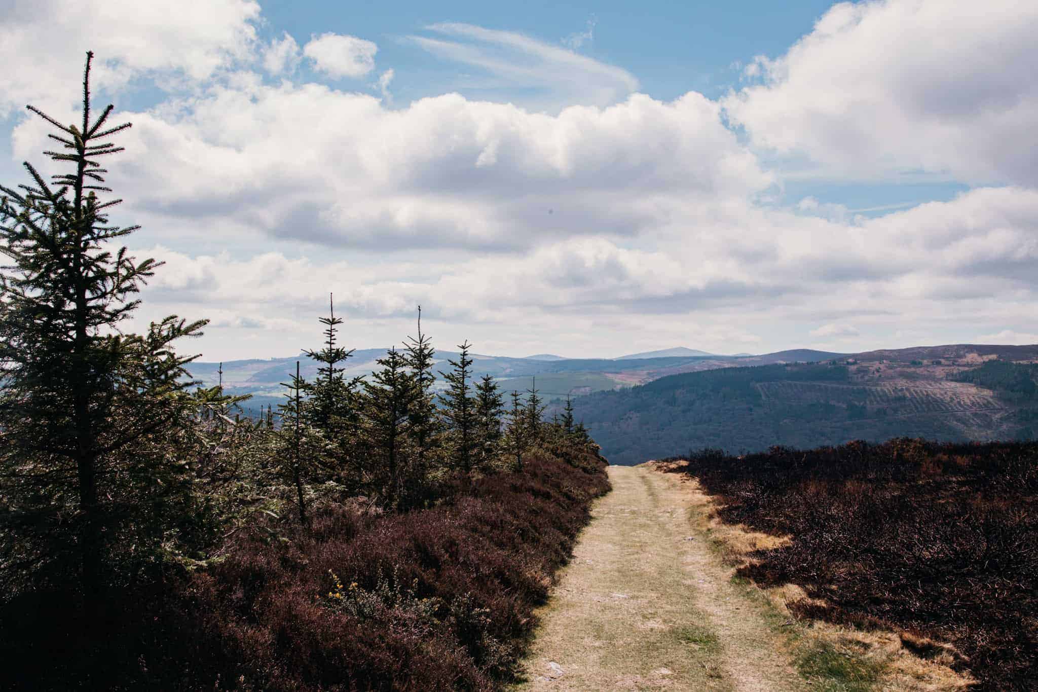
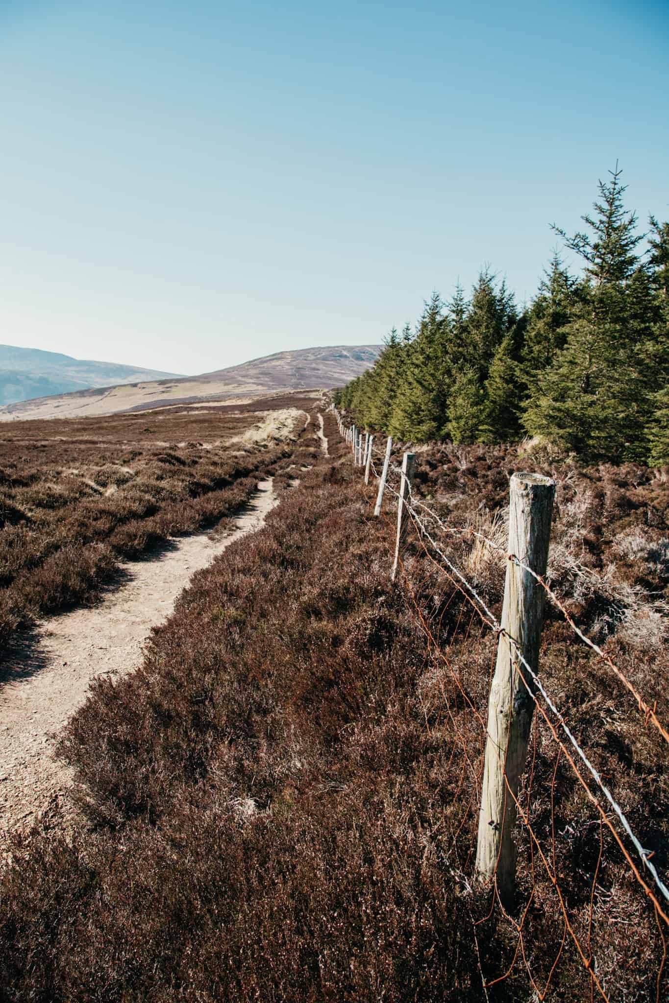
The Wicklow Way is Ireland’s oldest and most famous long-distance trail, and the first stage of this epic walk offers a fantastic introduction to the stunning Wicklow Mountains. This section of the trail takes you from Marlay Park in Dublin to Knockree, covering around 21 km of varied landscapes, including woodland, open moorland, and gentle rolling hills.
Starting in Marlay Park, you’ll follow a well-marked trail that quickly takes you away from the bustle of the city and into the peaceful Irish countryside.
As you climb into the Dublin and Wicklow Mountains, you’ll be treated to panoramic views of Dublin Bay and beyond. This part of the trail is not overly difficult, but it does have some steady inclines, so be prepared for a good day’s walking.
The first stage of the Wicklow Way is known for its beautiful mix of forest trails and open landscapes, with much of the walk passing through lush pine forests and offering breathtaking views of the surrounding valleys.
The stage ends at Knockree, where you can either continue the trail another day or catch a bus back to the city. The Wicklow Way is well-suited for both casual walkers and more seasoned hikers looking for a scenic escape.
💡What you need to know
Hike duration: 6 to 7 hours | Hike distance: 21 km | Ascent: Moderate | Difficulty: Moderate
Terrain: A mix of forest trails, gravel paths, and open moorland | Accessibility: Not suitable for strollers or wheelchairs | Starting point: Marlay Park, Dublin

Getting to Marlay Park from Dublin City Centre
You can easily reach Marlay Park, the starting point of the Wicklow Way, by taking the bus from Dublin City Centre. Bus routes 16, 116, or 175 will bring you to Marlay Park in about 30 to 45 minutes, depending on traffic. The buses depart from various central locations, including O’Connell Street and St. Stephen’s Green.
👉 Tip: The trail starts near the park’s main entrance, where you’ll find clear signs marking the beginning of the Wicklow Way. Make sure to follow the official waymarkers, and it’s advisable to bring a map or GPS, especially if you’re unfamiliar with the area.

ARE YOU ON PINTEREST?
What about saving this post to your Pinterest board?
Click on the photo to save this blog post for later. Follow Travel Ireland Today ‘ boards to see our latest pins.

I help you explore Ireland like a local with insider tips, detailed itineraries, and practical advice.
HEY THERE! I’M JEN…
Funder, Author & Photographer behind travelirelandtoday.com
Ireland has been my home for the last 12 years. Before settling here, I spent years backpacking around the globe, visiting 65+ countries. Along the way, I discovered my love for hiking, photography, and crafting budget-friendly itineraries.
Through this website, I share the best things to do and see in Ireland, detailed hiking guides, and practical tips to help you plan your perfect Irish adventure. Let’s make your trip unforgettable!



I can’t get over how stunning these pictures are. Great post!
Love all these recommendations! We went to howth last weekend thanks to you and it was amazing. I think it would be fun do one of these hikes every month!
A useful guide for accessible hikes near Dublin. The suggestions are practical and easy to follow.